
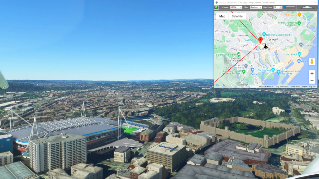
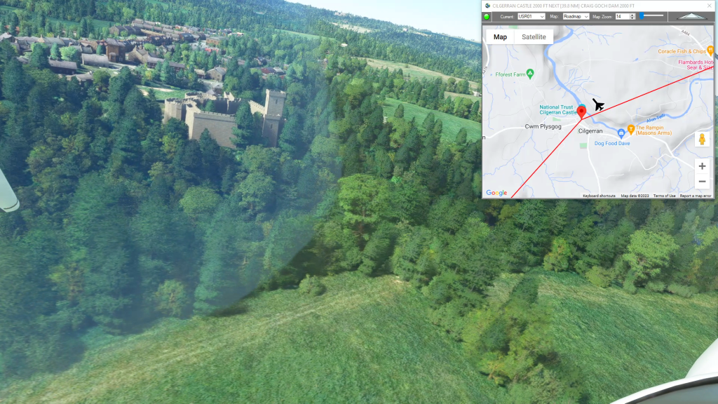
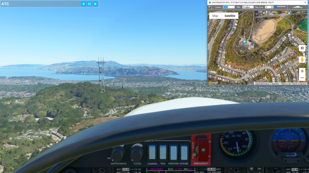
With Simflightplan™ for Flight Simulator, you can take Google Maps in the cockpit with you. Simflightplan™ Cockpit Map allows you to see the real-time google map beneath you as you fly. Just like on your phone, Google Maps will display road names, place names, landmarks, street views and 3D photogrammetry as you fly. You can…
Flight Sim Route Planner
Flightplan is a Google Maps flight planning add-on for use with Microsoft Flight Simulator 2020. You can use Cockpit Map to take Google Maps in the cockpit with you to use real time terrain elevations, road maps, landmarks, satellite views and street view 3D imagery. Flightplan can also be used to create and share your own flight plans using an interactive drag-and-drop, Google Maps interface.
Download Flightplan and try it yourself – the link is at the bottom of the page. You can also download and fly any of our free flight plans using the Download Link at the top. Load them in MSFS World Map and you are ready to fly. For more information see the topics below or check out our YouTube channel or FAQ page.
Happy Flying!

How To Add Nav Waypoints Using Any Glass Cockpit
Flightplan does not display Nav Waypoints on the map unless they are waypoints on the flight plan. The assumption is that the glass cockpit will take care of that for you, so displaying the Nav Waypoints in Cockpit Map is really not necessary (although they may be added in future versions of Flightplan). However you…
How can I add an airport to my flight plan?
Using Flightplan you can take off and land anywhere, so basically the world is your airport. You can set your aircraft to spawn floating on a lake or bay, or sitting on top of a sky scraper. But you can also add a legitimate airport on-the-fly in Flightplan. Just look up the ICAO code (optionally)…
How To Create A Bush Trip
You can use Flightplan to create multi-leg flights that mimick the in game Bush Trips in Microsoft Flight Simulator. Flightplan creates Free Flight type flight plans that can be flown in sequence by simply loading the next consecutive flight plan after landing. The https://simflightplan.com/series/pacific-nw/ Pacific Northwest Series is an example of this. See the YouTube…
Cockpit Map Features
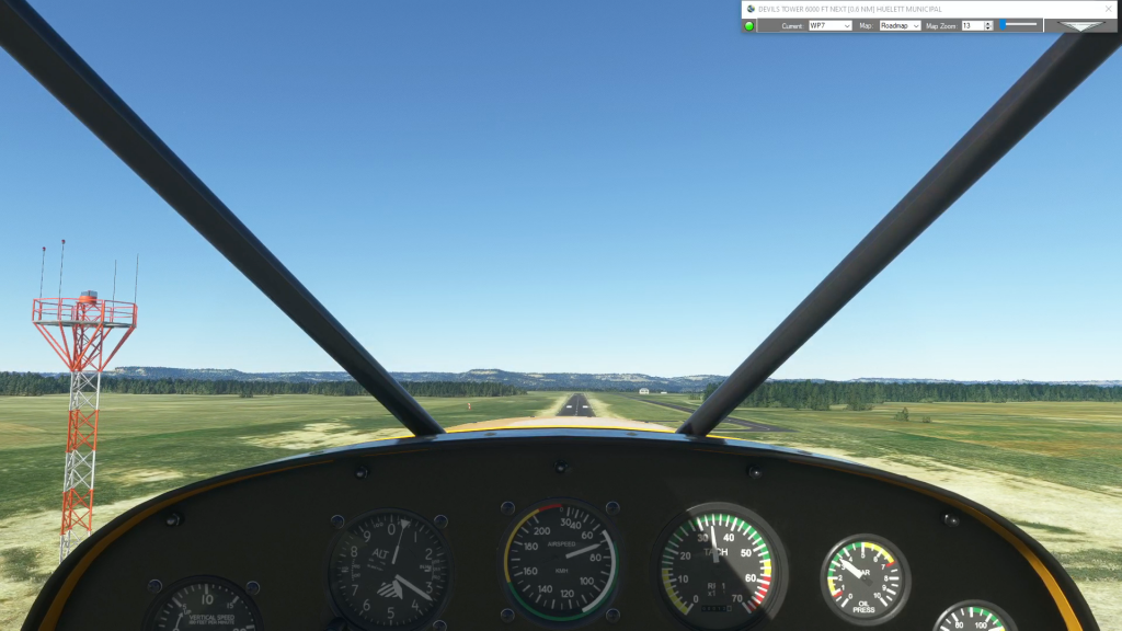
Cockpit Map can be used in place of Microsoft Flight Simulator’s Nav Map. Cockpit Map displays the loaded flight plan along with the current position of your aircraft over the Google map. When launched, Cockpit map will appear at the top right 1/3 of the primary display. It can be moved or resized to whatever…