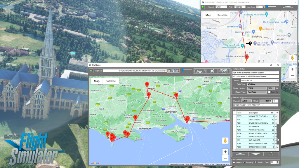
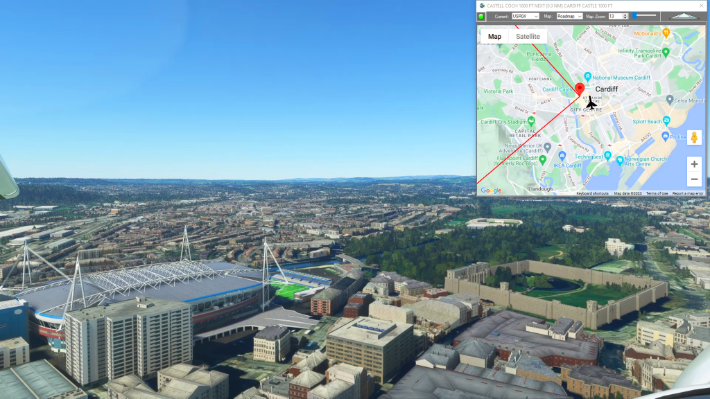
With Flightplan for Flight Simulator, you can take Google Maps in the cockpit with you. Flightplans Cockpit Map allows you to see the real-time google map beneath you as you fly. Just like on your phone, Google Maps will display road names, place names, landmarks, street views and 3D photogrammetry as you fly. You can switch between Satellite view and Roadmap view and set the zoom level to pinpoint your position in flight and help you find interesting places you would’ve missed.
That's just the beginning, Flightplan is a stand-alone Windows application you can use to create and share your own flight plans. Using the same familiar Google Maps interface as Cockpit Map you can drop pins to create flight plans to anywhere on Earth. You can also place your aircraft start position anywhere, simply drag your pin position anywhere you want, you can even start in flight. Once you've create your flight plan just load it in MSFS World Map and you're ready to fly. Any of the glass cockpits will lead you to your waypoints, but you can use Cockpit Map to follow your route in any aircraft.

Check out our other videos at https://youtube.com/@simflightplan, there are many more instructional videos in the How To playlist.
Happy Flying!
