
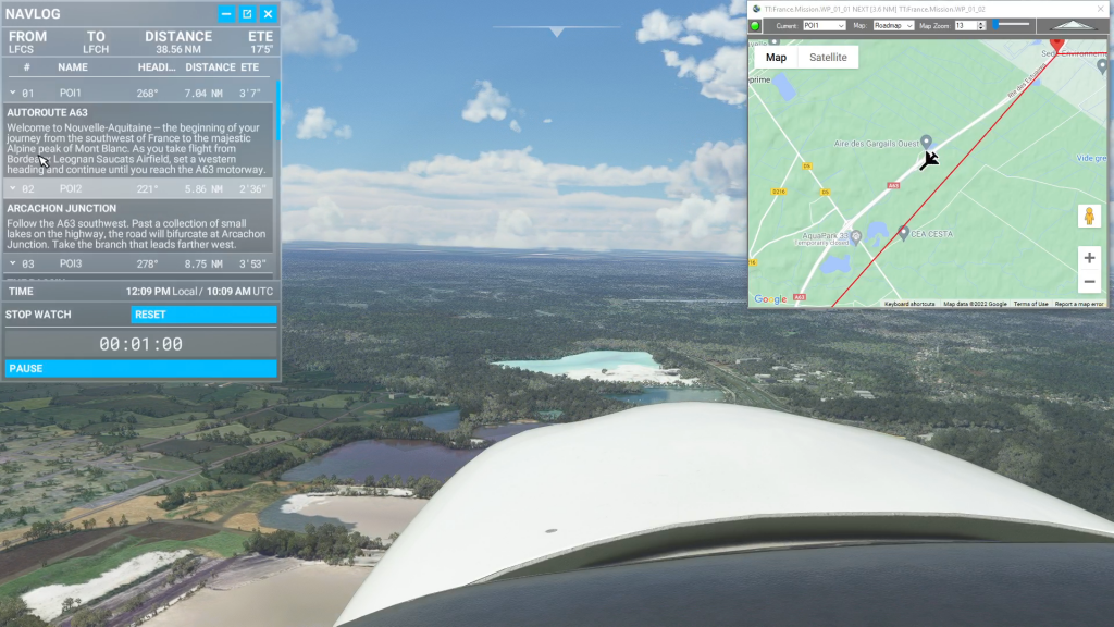
Simflightplan™ Cockpit Map can be used in place of Microsoft Flight Simulator’s Nav Map. Cockpit Map displays the loaded flight plan along with the current position of your aircraft over the Google map. When launched, Cockpit map will appear at the top right 1/3 of the primary display. It can be moved or resized to…
Google Maps for MSFS
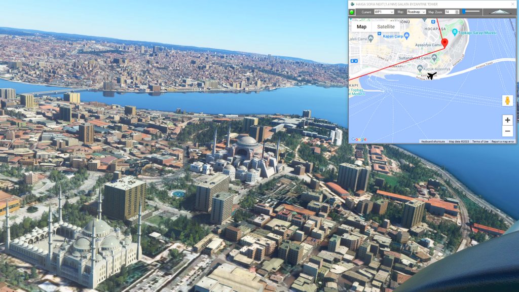
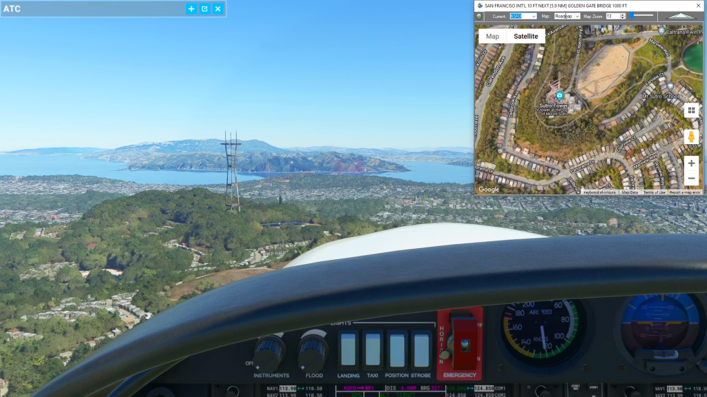
Simflightplan™ is a Google Maps flight planning add-on for use with Microsoft Flight Simulator. You can use Cockpit Map to take Google Maps in the cockpit with you to use real time terrain elevations, road maps, landmarks, satellite views and street view 3D imagery.
Download Simflightplan™ and try it yourself. You can also download and fly any of our free flight plans, click the Downloads link at the top to search all downloads. Load them in MSFS World Map and you are ready to fly.
For more information see the FAQ page or our YouTube channel.
Happy Flying!
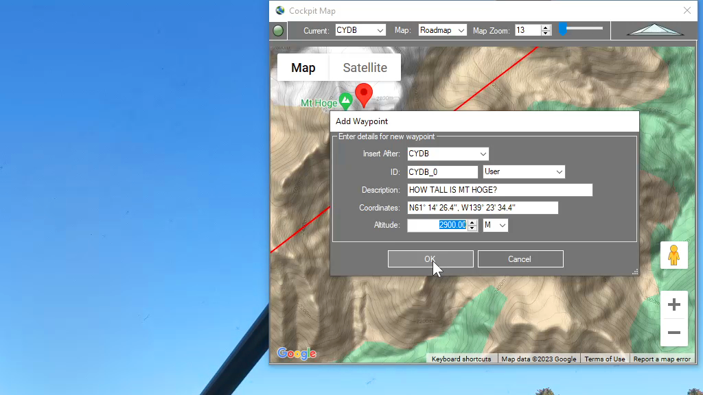
How can I quickly convert elevations from meters to feet in MSFS?
You can drop a pin anywhere and enter the desired altitude using either Meters (M) or Feet (FT) and when the Pin is added to the map it will be converted to your flight plan unit of measure. So if you are used to flying using Imperial units of measure (feet) but the local elevations…
How can I create a new flight plan?
There are several ways to copy and save flight plans to create a new flight plan (Check out the videos on our YouTube channel link below). However there is not currently a specific New button in Flightplan to create a file from scratch. The primary reason for this is that the values that define the…
Isn’t it cheating to use Cockpit Map in a Bush Trip?
Well yes, from a navigation perspective the point of Bush Trips is to use the Nav Log and VFR to navigate the route. Although some of the Nav Log descriptions are vague and hard to follow on a number of built-in Bush Trips so it can be difficult to find the landmarks mentioned (even if…
Feature Release
List of features added in conjunction with the Microsoft 40th Anniversary Edition of Microsoft Flight Simulator