
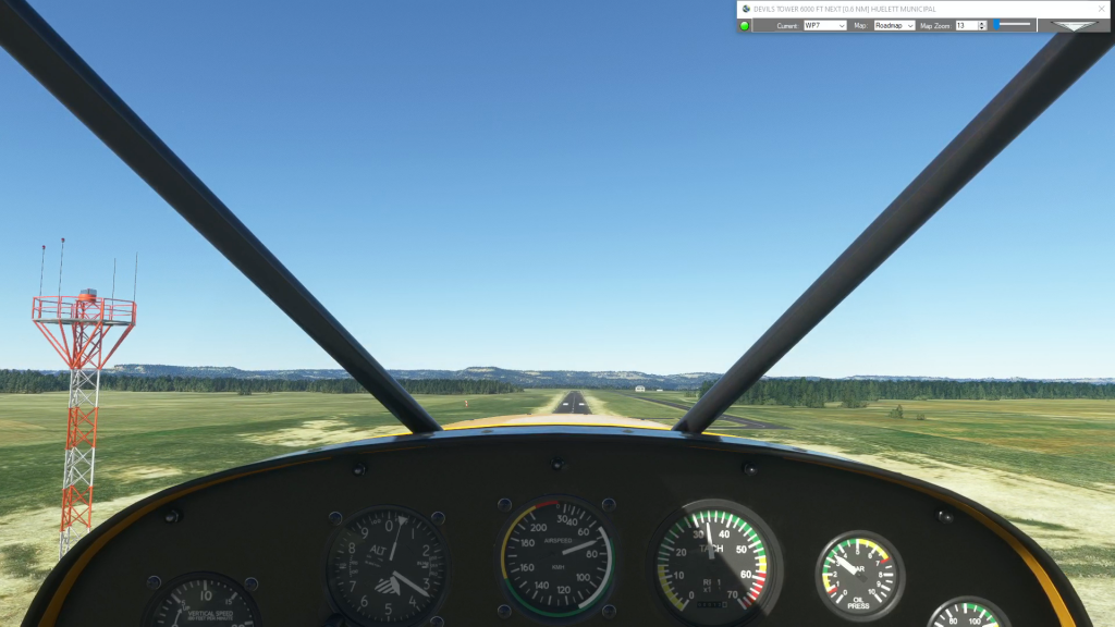
You can practice challenging approaches from the MSFS 2020 Bush Trips in Flight Plan. Just copy the Bush Trip to a Free Flight, then delete the waypoints you don’t want. You can use the contour lines on the map to determine your runway elevation if you aren’t certain of it. You can also review the…
Map
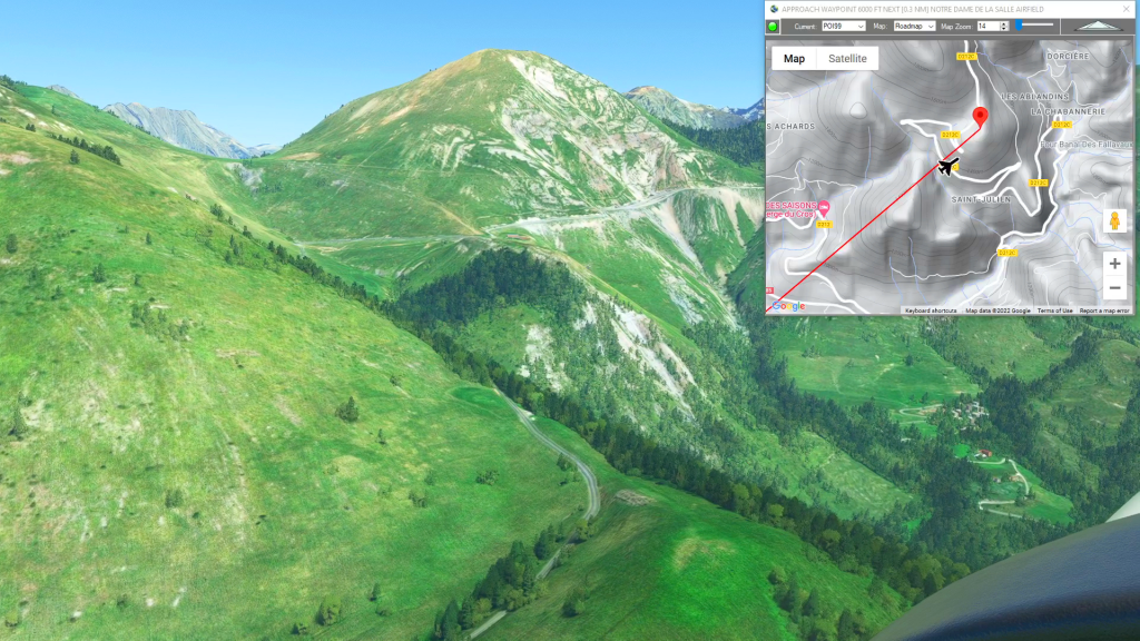
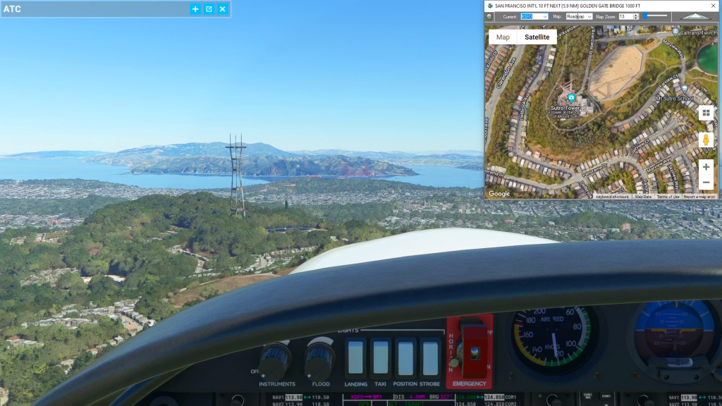
Flightplan is a Google Maps flight planning add-on for use with Microsoft Flight Simulator 2020. You can use Cockpit Map to take Google Maps in the cockpit with you to use real time terrain elevations, road maps, landmarks, satellite views and street view 3D imagery. Flightplan can also be used to create and share your own flight plans using an interactive drag-and-drop, Google Maps interface.
Download Flightplan and try it yourself – the link is at the bottom of the page. You can also download and fly any of our free flight plans using the Download Link at the top. Load them in MSFS World Map and you are ready to fly.
For more information see the topics below or check out our YouTube channel or FAQ page.
Happy Flying!

How To Share A Flight Plan
You can share a flight plan at https://simflightplan.com/download/ by clicking the Share Button at the top (next to the Save Button). You have options to type an addtional summary, include the list of waypoints and distances, and post under your own simflightplan username if you want. You can also include a featured image if you…
Cockpit Map Features
Cockpit Map can be used in place of Microsoft Flight Simulator’s Nav Map. Cockpit Map displays the loaded flight plan along with the current position of your aircraft over the Google map. When launched, Cockpit map will appear at the top right 1/3 of the primary display. It can be moved or resized to whatever…

How do I add a new waypoint?
You can add a waypoint to a flight plan by clicking anywhere on the map. Flightplan will drop a push-pin at the coordinate you clicked, and open the Add Waypoint form (see below). You can update the waypoint ID which will show in the glass cockpit if your aircraft is so equipped. You can also…
How to create a custom airport?
To create a brand new airport, click anywhere on the airport grounds, at the location where you want your aircraft to spawn. Next, enter the appropriate ICAO code if there is one as your waypoint ID, the name of the airport as your description and select whatever altitude (elevation) you want. If you’re not certain…