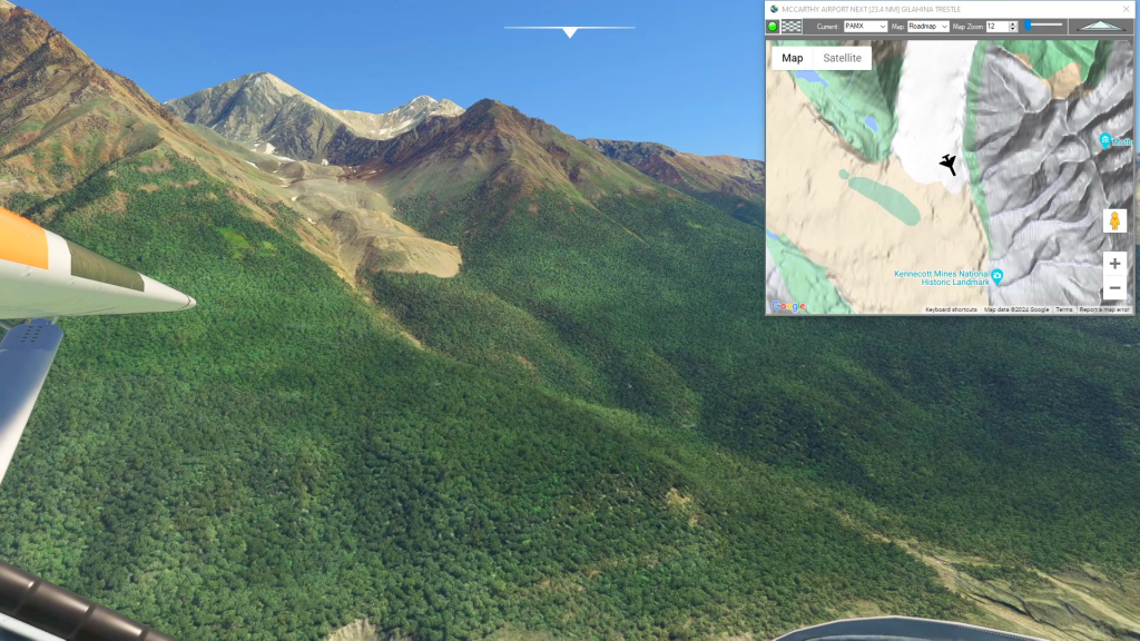
PAMX-PACV Bonanza Copper Mine Route 1909-38
Pilatus PC-6 Gauge Skis
This flight plan follows the route the copper had to follow from the famous Bonanza Mine in Alaska to the Pacific Coast. The Bonanza Ridge vein was one of the largest copper deposits ever discovered but it's remote nature required a nearly 200 mile steam train route through the Alaskan outback, parts of which are still visible from the air.
PAMX: MCCARTHY AIRPORT
USR01: [23.57 NM] GILAHINA TRESTLE
USR02: [20.53 NM] CHITNA BRIDGE
USR03: [52.14 NM] MILLION DOLLAR BRIDGE
USR04: [16.87 NM] FLAG POINT
USR05: [20.92 NM] CORDOVA PORT
PACV: [9.13 NM] MERLE K (MUDHOLE) SMITH AIRPORT
Total Distance: 143.19 NM
Flightplan by texstan
Login is required to download. If you don't have an account Register Here, your password will be emailed to you. Happy Flying!
