

Get Ready To End Flight Plan
MSFS
Simflightplan™ is a Google Maps flight planning add-on for use with Microsoft Flight Simulator. You can use Cockpit Map to take Google Maps in the cockpit with you to use real time terrain elevations, road maps, landmarks, satellite views and street view 3D imagery.
Download Simflightplan™ and try it yourself. You can also download and fly any of our free flight plans, try the flight plans below or click the Downloads link at the top to search all downloads. Load them in MSFS World Map and you are ready to fly.
For more information see the FAQ page or our YouTube channel.
Happy Flying!

a.FLT
Kpie To Kocf Flight Plan
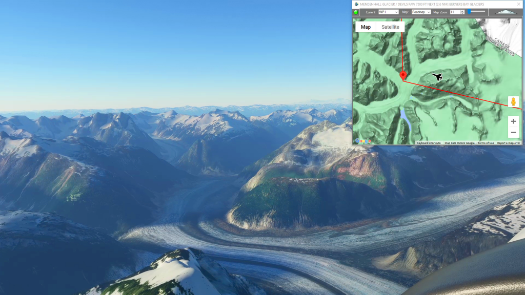
Mendenhall & Berners Bay Glaciers
Juneau Int’l Airport To Skagway Airstrip Flight Plan
5.0 out of 5 stars (based on 1 review)
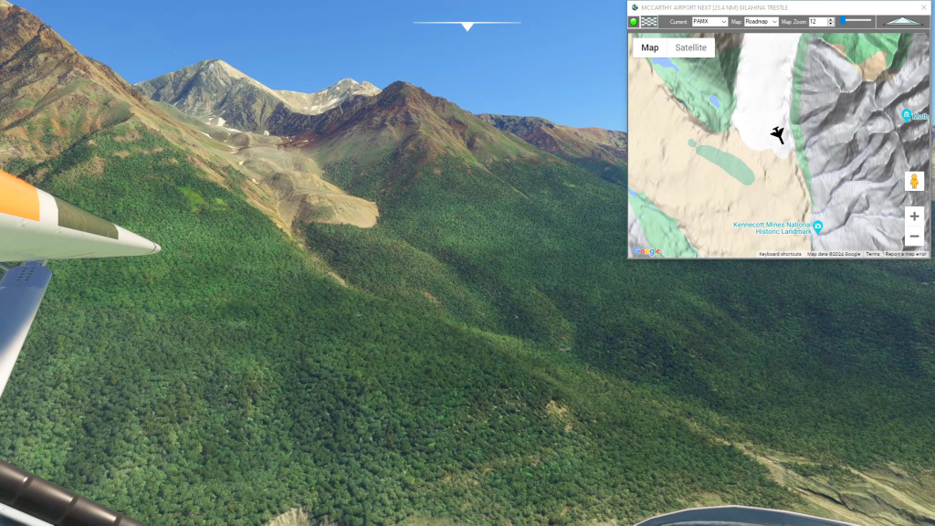
McCarthy to Cordova Historic Copper Rail
Mccarthy Airport To Merle K (Mudhole) Smith Airport Flight Plan
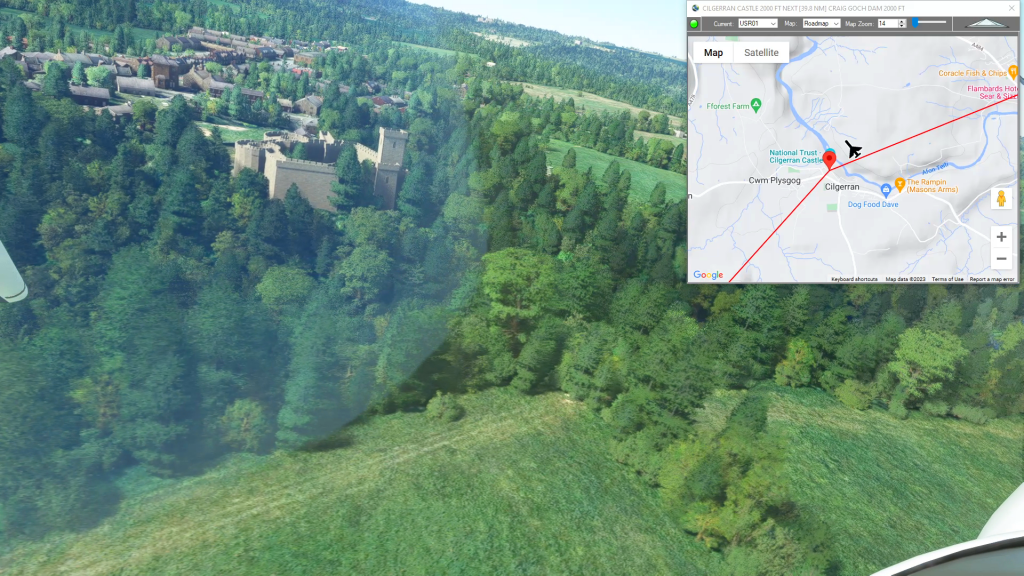
Wales Bush Trip – Cilgerran Castle
Harverfordwest Airport To Talybont Airfield Flight Plan