
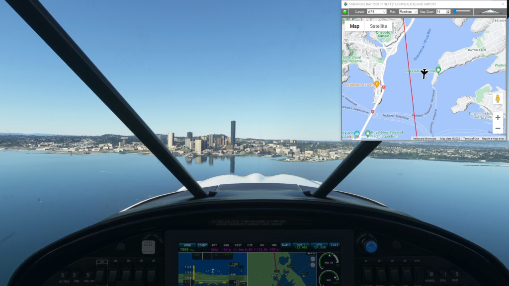
Auckland flight plan
MSFS Bush Trip
Navigating Microsoft Flight Simulator 2020 Bush Trips can be a challenge. You can always use the Nav Log bearings and ETEs to navigate the route, but if you want to sight-see the compass and stopwatch can be a burden. You can use the VFR Map, but it doesn’t show town or street names and the elevations are difficult to read. The Nav Log gives descriptions, but often they use road numbers and town names as landmarks which again, the VFR map doesn’t show. Wouldn’t it be nice to have Google maps in the cockpit with you?
Flightplan is a Google Maps flight planning add-on for use with Microsoft Flight Simulator 2020. You can use Cockpit Map to take Google Maps in the cockpit with you to use real time terrain elevations, road maps, landmarks, satellite views and street view 3D imagery. Flightplan can also be used to create and share your own flight plans using an interactive drag-and-drop, Google Maps interface.
Download Flightplan and try it yourself – the link is at the bottom of the page. You can also download and fly any of our free flight plans below, or click the Downloads link at the top to search all downloads. Load them in MSFS World Map and you are ready to fly. For more information see the FAQ page or our YouTube channel.
Happy Flying!
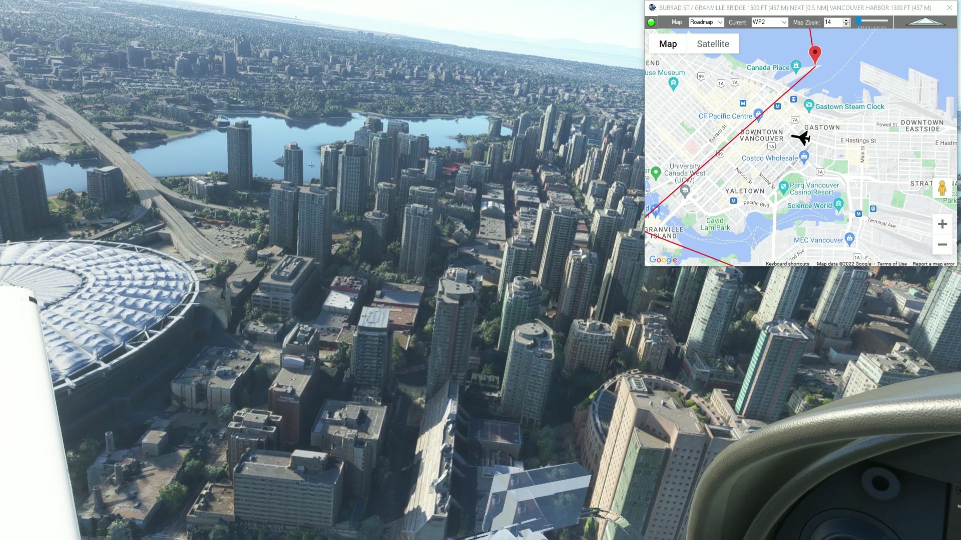
Vancouver (Bellingham to Squamish)
Vancouver flight plan
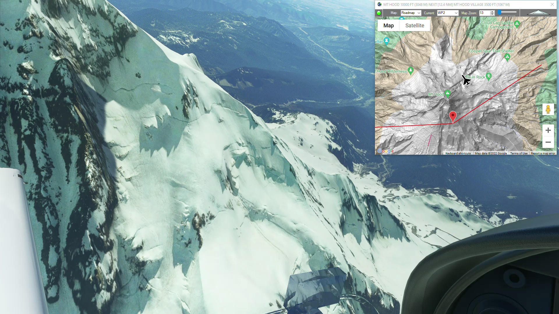
Mt Hood (Columbia Regional to Portland Int’l)
Mt Hood flight plan
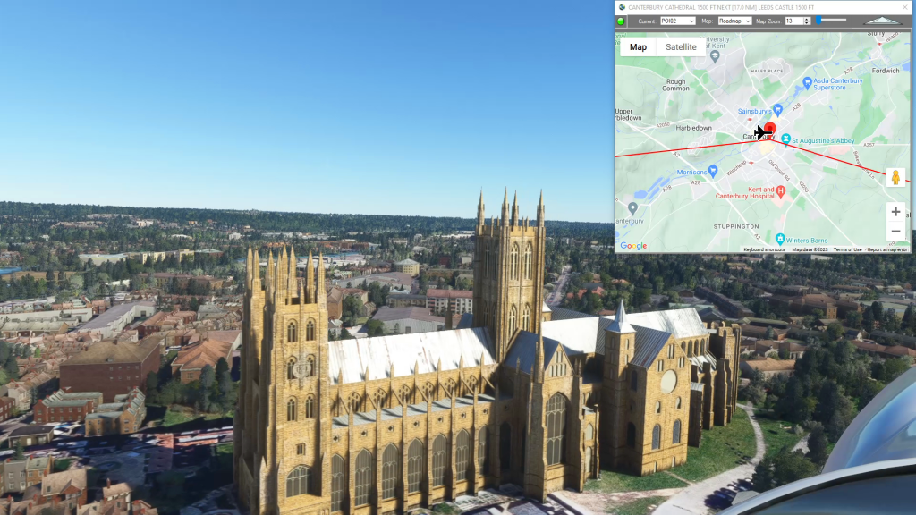
Mysteries of the Abandoneed Southeast England
Lydd Airport To London Southend Airport Flight Plan
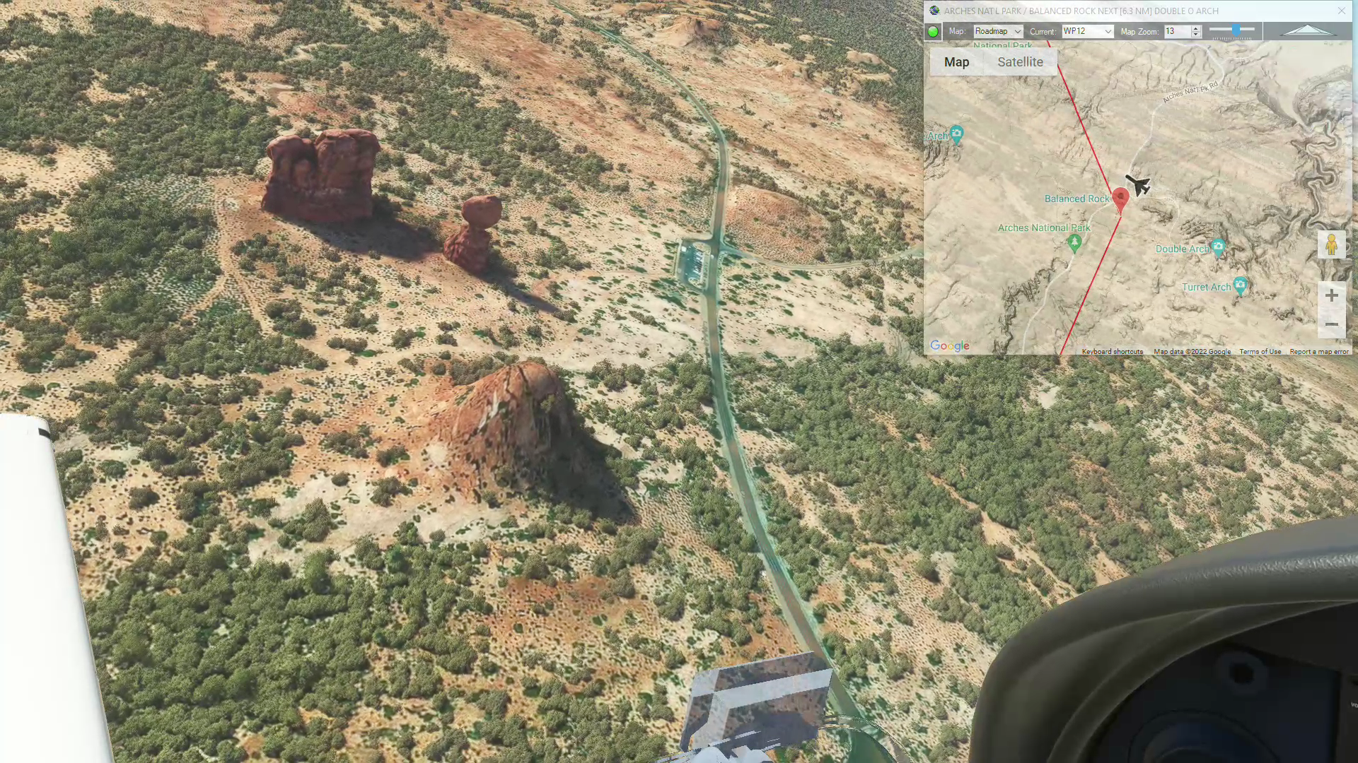
Canyonlands & Arches Nat’l Park
Canyonlands and Arches Nat’l Park flight plan

Grand Canyon Timed Run
Get Ready To Pearce Ferry Airport Flight Plan

Torre Cerredo Circuit
Get Ready To End Flight Flight Plan

Wales Bush Trip – Rowton Castle
Whittington Airport To Shobdon Aerodrome Flight Plan
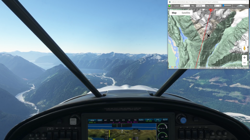
Tsuniah Lake to Knight Inlet (Water Landing)
Tsuniah Lake to Knight Inlet flight plan

Ricardo Tormo Circuit
Valencia Airport To Valencia Airport Flight Plan