

How to create a flight plan from a bush trip
Flight Simulator Flight Plan
Flightplan is a Google Maps flight planning add-on for use with Microsoft Flight Simulator 2020. You can use Cockpit Map to take Google Maps in the cockpit with you to use real time terrain elevations, road maps, landmarks, satellite views and street view 3D imagery. Flightplan can also be used to create and share your own flight plans using an interactive drag-and-drop, Google Maps interface.
Download Flightplan and try it for yourself, the link is at the bottom of the page.
Download and fly any of the flight plans below, just load them in MSFS World Map and your ready to fly.
For more information see the FAQ page or our YouTube channel.
Happy Flying!
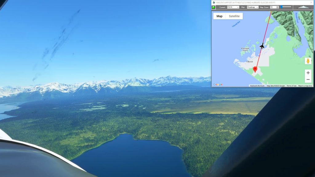
Yakutat to Icy Bay
Yakutat Airport To Icy Bay Airport Flight Plan
Mysteries of the Abandoned – Canfranc Rail Station
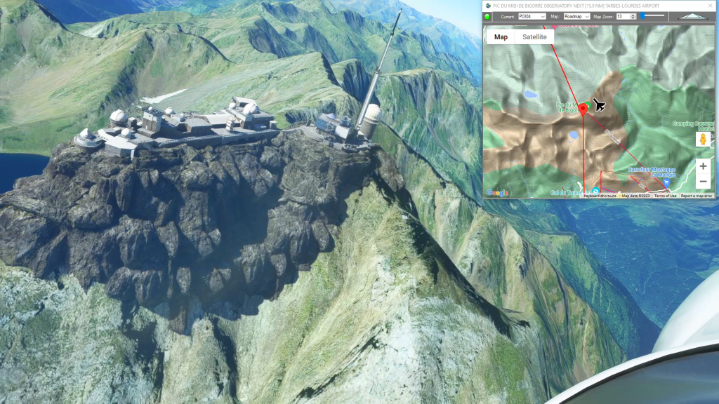
Aerodromo Gurrea De Gallego To Tarbes-Lourdes Airport Flight Plan
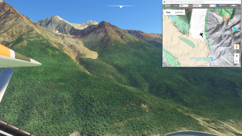
McCarthy to Cordova Historic Copper Rail
Mccarthy Airport To Merle K (Mudhole) Smith Airport Flight Plan

Vancouver Circuit
Get Ready To Done Racing Flight Plan
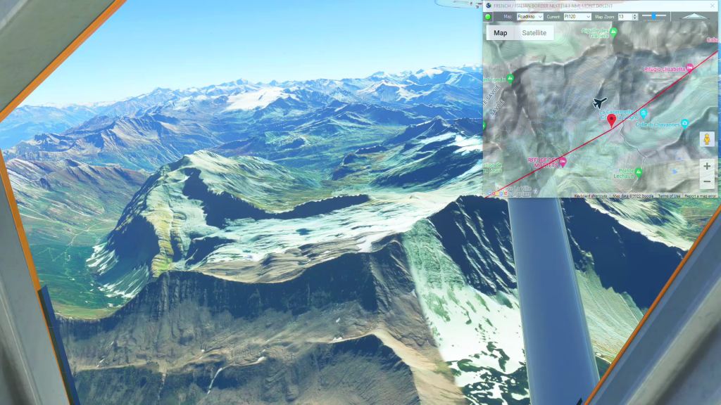
Grand Alpine Challenge – Leg 1
La Cote To Bex Flight Plan
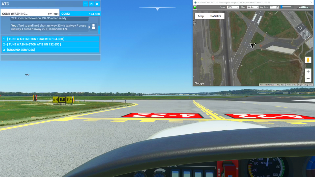
How To Use Satellite View to Assist During Taxi
How to use satellite view to taxi flight plan
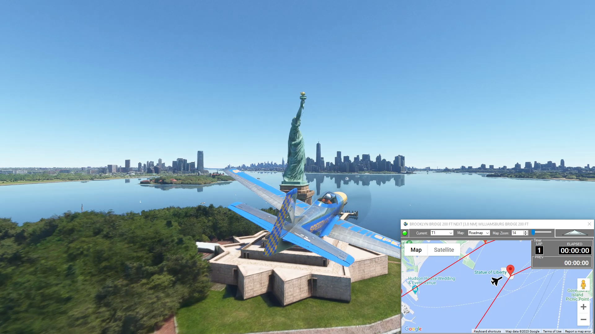
NYC – Manhattan Circuit
Get Ready To Done Racing Flight Plan

Cincinnati/Northern Ky Intl to Roanoke-Blacksburg Rgnl/Woodru
Kcvg To Kroa Flight Plan
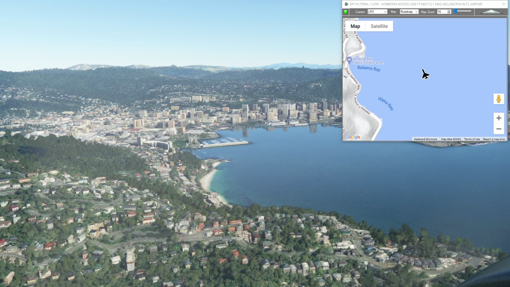
Middle Earth – Osgiliath Wood
Osgilath Wood flight plan