
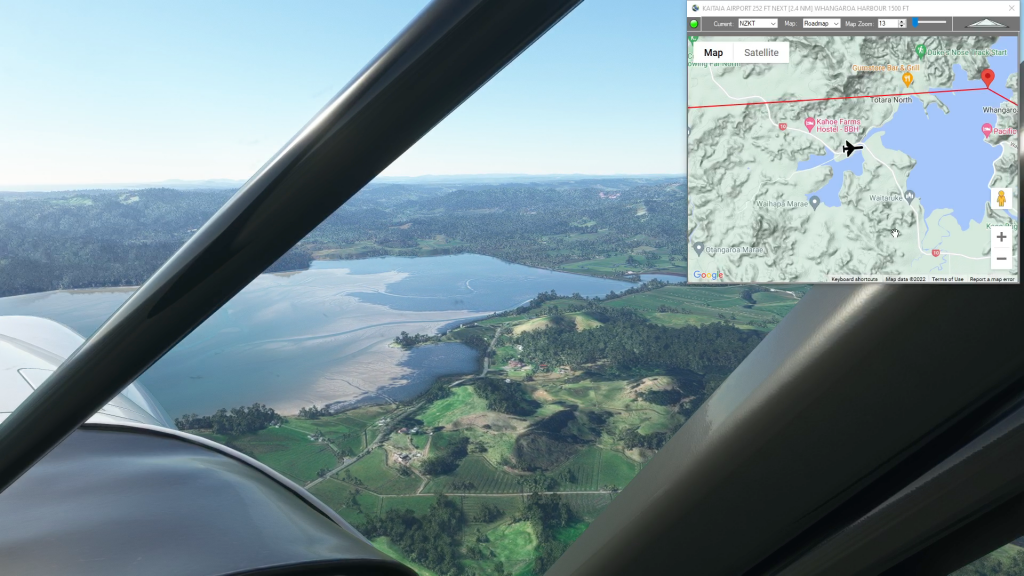
Center of North New Zealand flight plan
Flight Simulator Flight Plan
Flightplan is a Google Maps flight planning add-on for use with Microsoft Flight Simulator 2020. You can use Cockpit Map to take Google Maps in the cockpit with you to use real time terrain elevations, road maps, landmarks, satellite views and street view 3D imagery. Flightplan can also be used to create and share your own flight plans using an interactive drag-and-drop, Google Maps interface.
Download Flightplan and try it for yourself, the link is at the bottom of the page.
Download and fly any of the flight plans below, just load them in MSFS World Map and your ready to fly.
For more information see the FAQ page or our YouTube channel.
Happy Flying!
Middle Earth – Mt Olympus
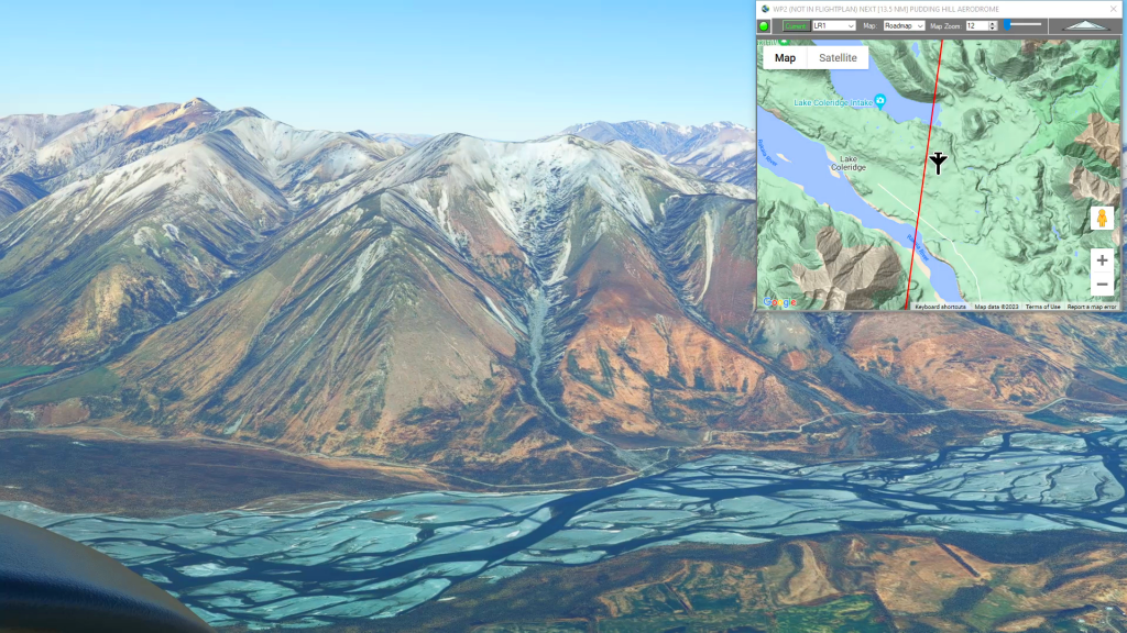
Greymouth Airport To Pudding Hill Aerodrome Flight Plan
Squamish Airport to Tsuniah Lake Lodge
Squamish to Tsuniah Lake flgiht plan

Terrace to Kincolith (Water Landing)
Nw Terrace Regional To Kincolith Seaplane Base Flight Plan
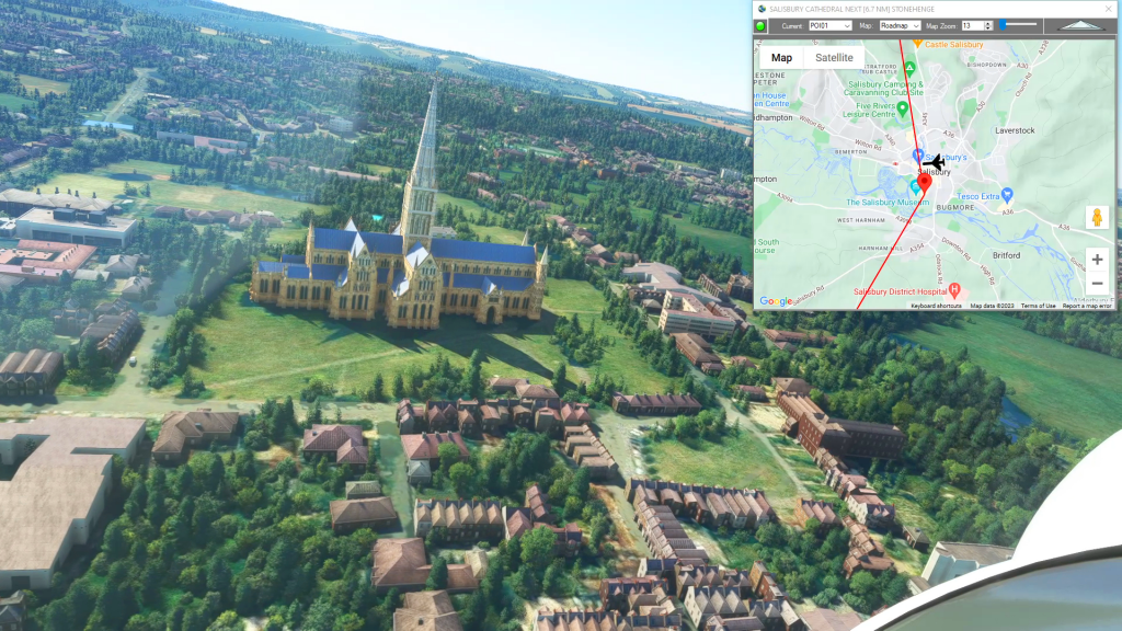
Myst of the Abandoned Southern England
Lower Manor Farm Airstrip To Swanborough Farm Airstrip Flight Plan
5.0 out of 5 stars (based on 1 review)
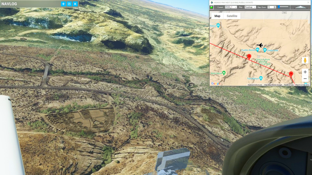
Chaco Canyon (Crownpoint to Shiprock)
Chaco Canyon flight plan
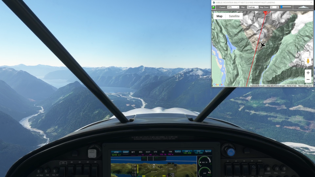
Tsuniah Lake to Knight Inlet (Water Landing)
Tsuniah Lake to Knight Inlet flight plan
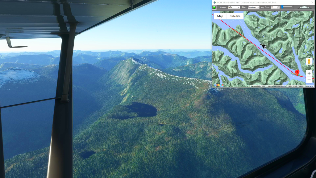
Dean River Airport to Hartley Bay (Water Landing)
Dean River Airport To Hartley Bay Seaplane Base Flight Plan
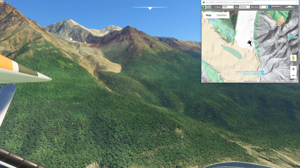
McCarthy to Cordova Historic Copper Rail
Mccarthy Airport To Merle K (Mudhole) Smith Airport Flight Plan
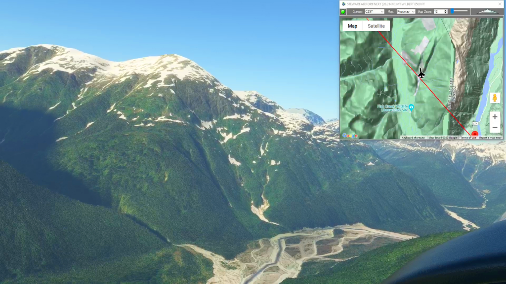
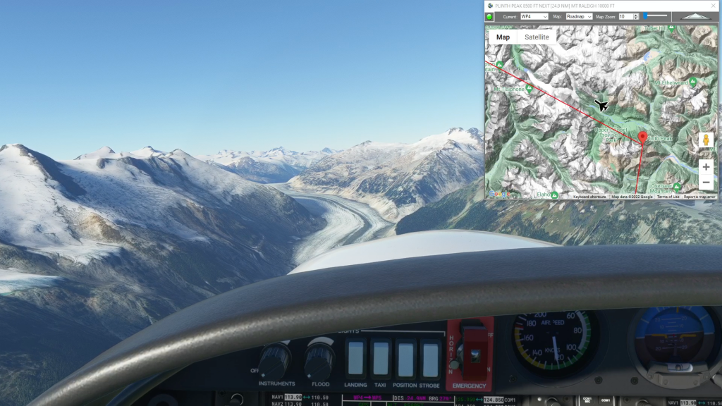
Stewart Airport to Wrangell Airport
Stewart Airport To Wrangell Airport Flight Plan