
While Flightplan allows you to change the aircraft name for any flight, there are many settings that may not be correct from one aircraft to another. Typically, changing from a “more complex” aircraft to a “less complex” aircraft (for example from an A320neo to a Cessna Skyhawk) will not have any noticable change when loading…
Microsoft Flight Simulator
Flightplan is a Google Maps flight planning add-on for use with Microsoft Flight Simulator 2020. You can use Cockpit Map to take Google Maps in the cockpit with you to use real time terrain elevations, road maps, landmarks, satellite views and street view 3D imagery. Flightplan can also be used to create and share your own flight plans using an interactive drag-and-drop, Google Maps interface.
Download Flightplan and try it yourself – the link is at the bottom of the page. You can also download and fly any of our free flight plans using the Download Link at the top. Load them in MSFS World Map and you are ready to fly.
For more information see the topics below or check out our YouTube channel or FAQ page.
Happy Flying!
How can I add a point if I know the coordinates?
You can add a new waypoint to your flight plan using latitude and longitude, but you must format the coordinate as follows: Which is as follows: The cardinal compass direction and degrees of latitude including the ° symbol (use Alt + 0176 on a Windows keyboard) then a space. Next are minutes with no decimal…
Why does my map keep changing zoom level?
There are 2 sets of zoom controls in Flightplan. The Map Options section in the lower right of the main window contains the default zoom level (and other settings) that the map will revert to when the map is recentered. The map recenters anytime a waypoint is selected in the grid or a pushpin clicked…
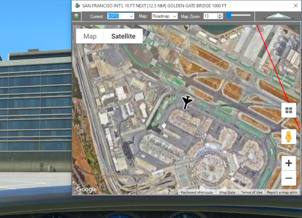
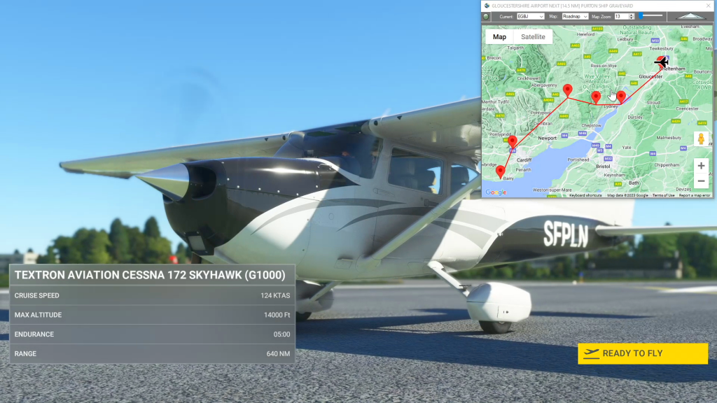
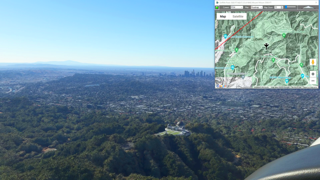
Cockpit Map
When in-flight during gameplay, the Cockpit Map can replace Nav Map to maintain a virtual GPS fix on your position and previous/next waypoints. It displays the path and distance to waypoints in the selected flight plan with real-time aircraft location and flight path. The floating Cockpit Map can be moved and resized and the transparency…

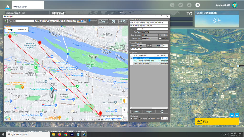
Google Maps Integration
Flightplan is a Google Maps flight planning add-on for use with Microsoft Flight Simulator 2020. Flightplan can be used to create and share your own flight plans using an interactive Google Maps drag-and-drop interface complete with terrain elevations, landmarks, streetviews, etc. Click on the interactive map to drop a pin at any location on earth,…
How to change the start position of your aircraft?
If no runway/parking was selected in Flight Simulator 2020 before saving the flight plan (or if it was saved from a Bush Trip), the aircraft will spawn at the same coordinate as the pushpin for the aiport. Often this is the middle of a runway, but sometimes the pushpin is placed at the “center” of…
Can I open a Bush Trip leg that I haven’t completed in Flight Simulator?
Yes. There are several ways to open the built in Bush Trips, but the easiest way is to at least start the first leg of the bush trip in-game. If you don’t want to fly the whole leg, just taxi down the runway a few feet, then exit to the Main Menu. Flight Simulator will…
Why doesn’t my Bush Trip percentage change?
If you open a Flight Simulator Bush Trip leg (or the entire Bush Trip) in Flightplan and save it, you are creating a copy of the route the Bush Trip takes, which you can then modify and load through World Map as you would any other free flight. In order for Flight Simulator to track…