
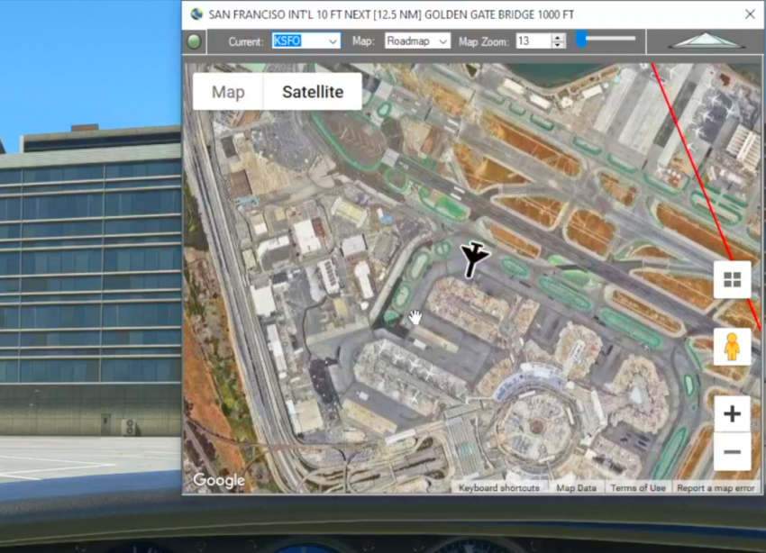
When in-flight during gameplay, the Cockpit Map can replace Nav Map to maintain a virtual GPS fix on your position and previous/next waypoints. It displays the path and distance to waypoints in the selected flight plan with real-time aircraft location and flight path. The floating Cockpit Map can be moved and resized and the transparency can be adjusted to simulate a HUD (Heads Up Display) projection. The google map satellite view and street views can also be used in flight.
Check out the How To videos on our YouTube channel for more information https://youtube.com/@simflightplan