
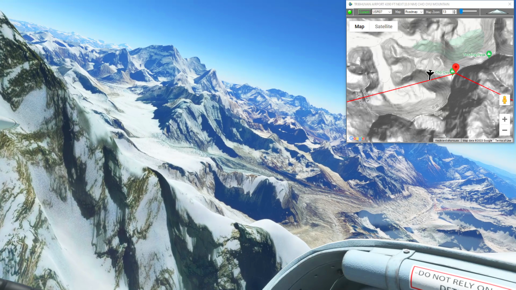
This flight plan starts in Kathmandu and has waypoints for several temples and stupas in Kathmandu before starting the long climb into the Himalayas. Climb to 20,000 to clear the China-Nepal border and continue climbing to the highest point on Earth at nearly 30,000 feet. After checking out the base camps along the Nepalese route to the summit, descend rapidly to land at Tenzing-Hillary Airport at 9,250 feet.
This is the flight plan used in the YouTube video https://youtu.be/P9Ywru1xCno
VNKT-VNLK Tribihuvan to Tenzing-Hillary
Pilatus PC-6 Gauge Skis
VNKT: TRIBHUVAN AIRPORT
USR01: [0.84 NM] PASHUPATINATH TEMPLE
USR02: [2.23 NM] DURBAR SQUARE
USR03: [0.21 NM] SETO MACHHINDRA NATH TEMPLE
USR04: [1.15 NM] SWOYAMBHU MAHACHAITYA
USR05: [3.78 NM] BUDDHA STUPA
USR06: [3.52 NM] CHANGUNARAYAN TEMPLE
USR07: [5.70 NM] JAMCHEN STUPA
USR08: [71.43 NM] CHO OYU MOUNTAIN
USR09: [15.33 NM] MT EVEREST
VNLK: [20.83 NM] TENZING-HILLARY AIRPORT
Total Distance: 125.07 NM
Flightplan by texstan
Login is required to download. If you don't have an account Register Here, your password will be emailed to you. Happy Flying!