
This is the same flight plan as the 2nd leg of the Navajo Volcanic Field series. But in this one, the flight settings are adjusted to start with the aircraft in flight over Monument Valley at 6,500 feet.
This is the flight plan used in the video https://youtu.be/Kvev4QY12wg
Shiprock Airstrip to Olijato Regional
DA40-NG Asobo
5V5: SHIPROCK AIRSTRIP
POI09: [13.61 NM] HWY 64
POI10: [10.63 NM] AZ BORDER/PASTORA PEAK
POI11: [17.75 NM] WILLOW SPRING WASH
POI12: [10.51 NM] CHINLE CREEK
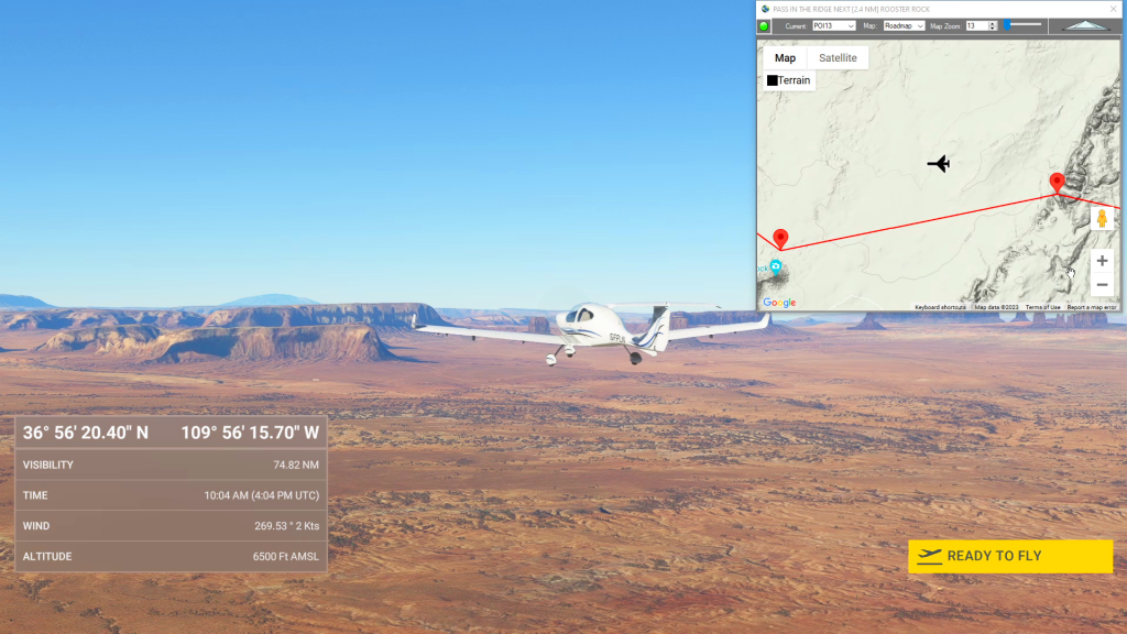
POI13: [8.04 NM] PASS IN THE RIDGE
POI14: [3.95 NM] ROOSTER ROCK
POI15: [7.12 NM] SENTINAL MESA/MONUMENT VALLEY
POI16: [3.04 NM] THE STAGECOACH
POI17: [5.76 NM] FORREST GUMP POINT
POI18: [7.07 NM] EAGLE MESA
POI19: [7.03 NM] TRAIN ROCK
UT25: [5.09 NM] OLJATO REGIONAL AIRPORT
Total Distance: 99.64 NM
Flightplan by texstan
Login is required to download. If you don't have an account Register Here, your password will be emailed to you. Happy Flying!