

This is leg 4 of a multi-leg flight from Crownpoint, NM to Moab, UT across the vast Navajo Volcanic Field.
Take off from Page Municipal and fly over the Glen Canyon Dam and (if you dare) down into the canyon. Continue southwest over (or through) Horseshoe bend as you follow the Glen Canyon.
As you continue into the wider Marble Canyon you'll change your course northwest over the historic Navajo Bridge.
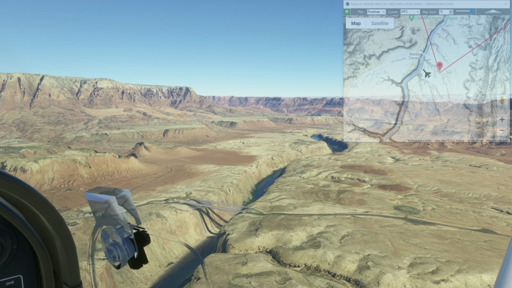
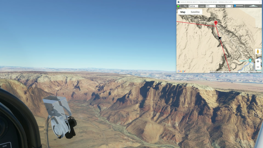
Climb out of the canyon and fly over the Vermillion Cliffs National Monument until you reach the Paria River bend.
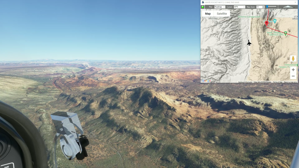
Adjust your course west to White Pocket.
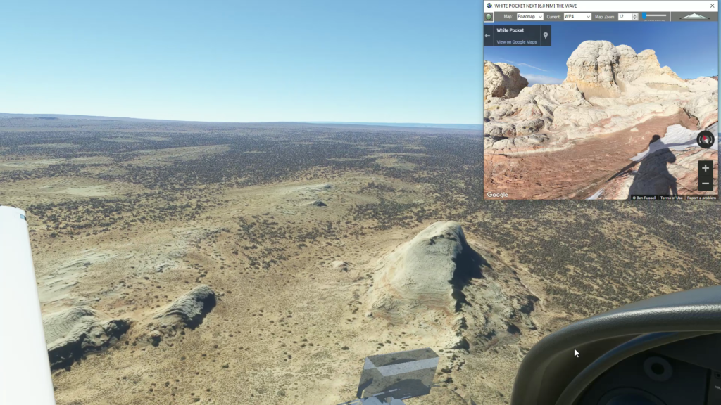
Then continue west to a rock formation called The Wave.
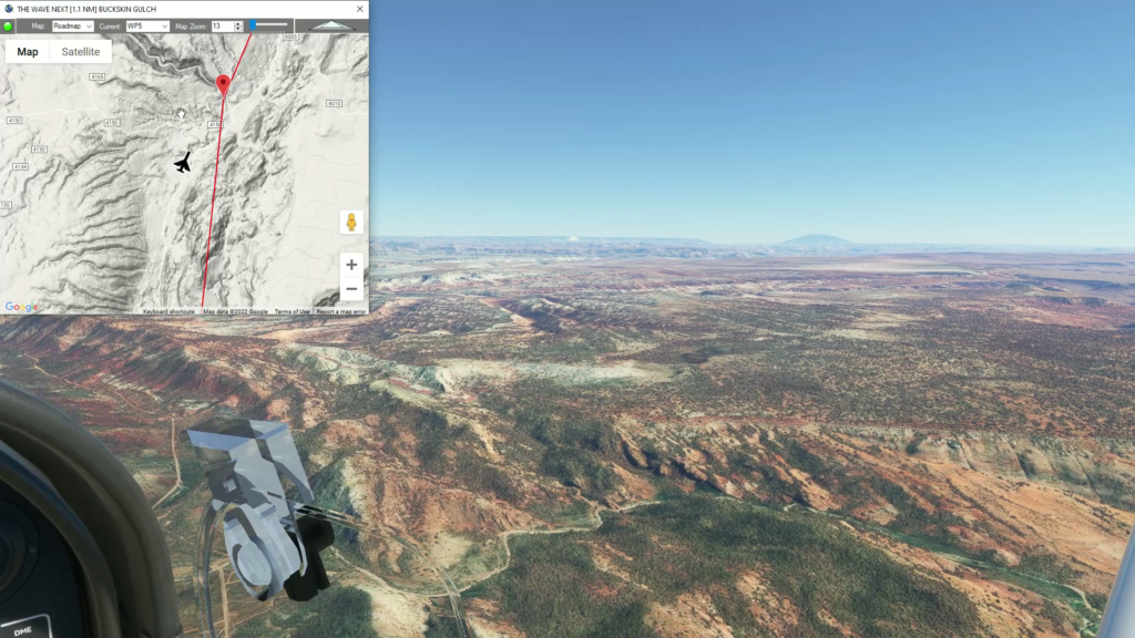
Follow the low canyon north until you reach Buckskin Gulch.
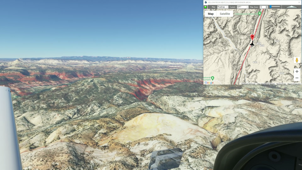
Continue to follow the low ridgeline north to Yellow Rock.
As you adjust your course east you'll fly over Grand Staircase Escalante National Monument. If you gain some alititude you can see the distinct plateaus that make up the staircase as they descend into the the desert south of the Grand Canyon.
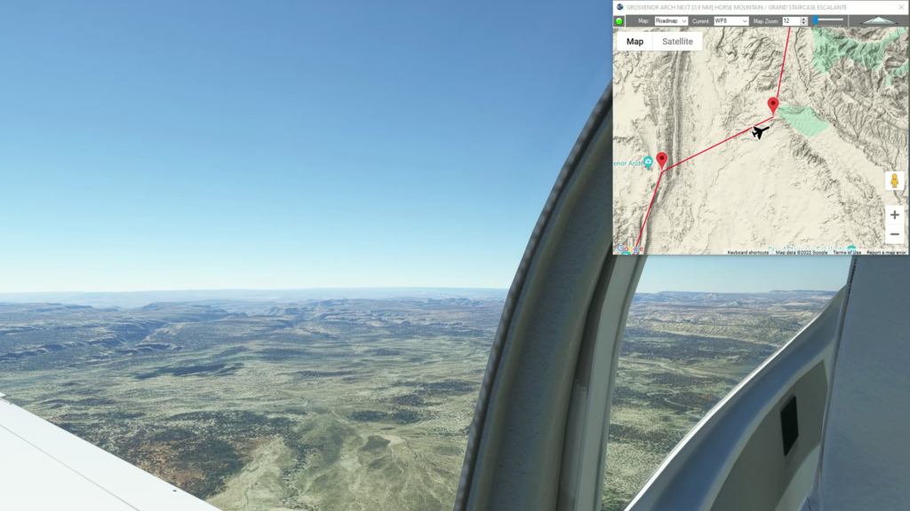
As you reach a Horse Mountain at the northern edge of the plateau adjust your course north.
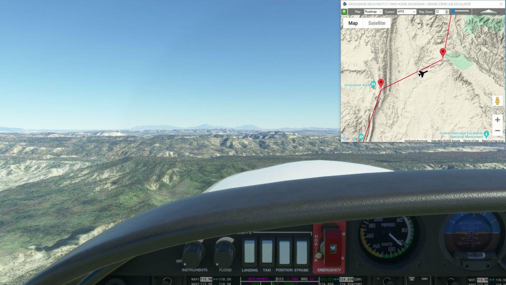
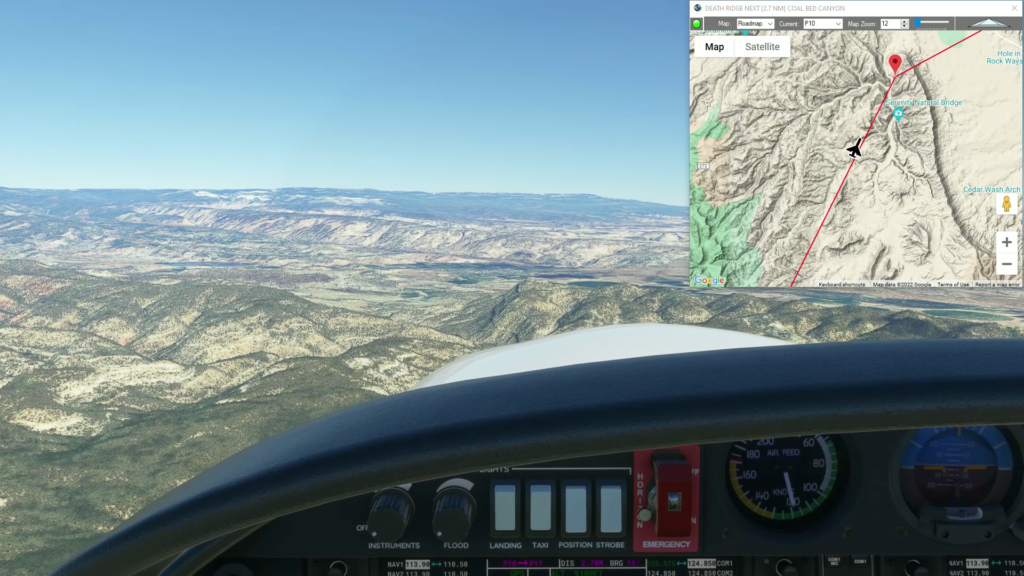
Gently gain altitude as you continue north over Death Ridge.
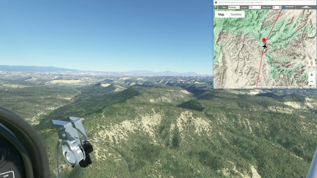
As you reach Coal Bed Canyon you will see Escalante, Utah come into view and begin your approach into Escalante Municipal.
Land at Escalante Municipal Airport
To continue exploring the Navajo Volcanic Field, check out the other Navajo Volcanic Field Flightplans.
Note: In the video the DA40-NGX Improvement Mod has been used which makes the DA40 much easier to fly - you can check it out at https://flightsim.to/file/2738/da40-ngx-project
Thank you to mrtommymxr for the excellent mod.