
In the YouTube video, we show a technique for converting between US and Metric units of measure, or the reverse. Flightplan supports both US Imperial (feet) and Metric (meters) for altitude, so this functionality can also be used as an easy Metric to US (or vice versa) converter.
This flight plan is actually one of the middle legs of a 30 leg trip from Mt Hood, Oregon to Anchorage, Alaska through British Columbia, Yukon Territory and Alaska, including parts of Glacier Bay Nat'l Park. The first 5 legs are already available at http://simflightplan.com/staging/downloads/pacific-nw/ stay tuned for the rest.
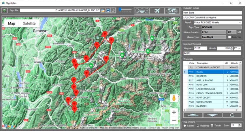
This is the flight plan used in the YouTube video https://youtu.be/osUewN1riVE
CAY4-CYXT Hartley Bay to NW Terrace
Asobo XCub Floats
CAY4: HARTLEY BAY SEAPLANE BASE
WP1: [35.34 NM] TENTACLE PEAK
WP2: [14.98 NM] MT HOLT
CYXT: [24.55 NM] NW TERRACE REGIONAL
Total Distance: 74.88 NM
Flightplan by texstan
Login is required to download. If you don't have an account Register Here, your password will be emailed to you. Happy Flying!