
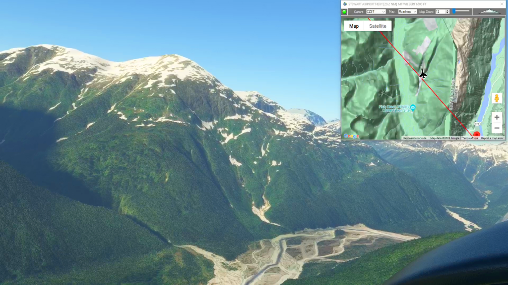
Stewart Airport To Wrangell Airport Flight Plan
Flight Plans
Download and fly any of our free flight plans below or go to the Downloads page using the link above to search for flight plans by ICAO, City, Author or even by Landmark. Just load them in MSFS World Map and you’re ready to fly!
Flightplan is a Google Maps flight planning add-on for use with Microsoft Flight Simulator 2020. You can use Cockpit Map to take Google Maps in the cockpit with you to use real time terrain elevations, road maps, landmarks, satellite views and street view 3D imagery.
Flightplan can be used to create and share your own flight plans using an interactive drag-and-drop Google Maps interface as well.
You can download Flightplan and try it for yourself at the bottom of the page.
Happy Flying!
London Circuit
Get Ready To Done Racing Flight Plan

Castillion Glide Slope
Start Flight Cruise To Castillion Air Field Flight Plan

Grand Staircase Escalante (Marble Canyon to Escalante)
Grand Staircase Escalante flight plan
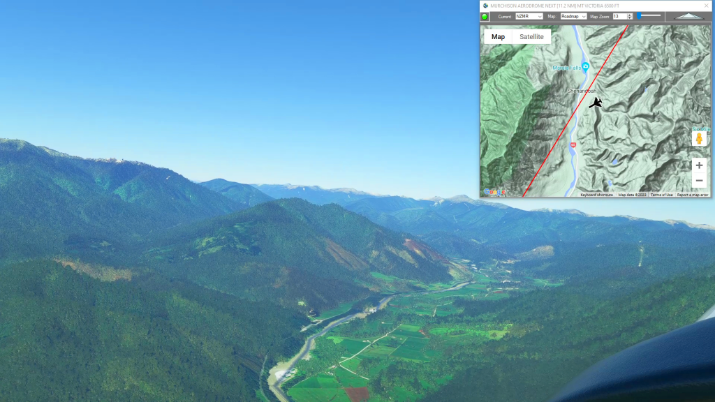
Mt Victoria and Gray River
Murchison Aerodrome To Greymouth Airport Flight Plan