
This is the first of several flight plans that start at the northern tip of New Zealand and cover the lengh of both islands. In some flight plans there will be LOTR waypoints which are locations that were used in the Lord of the Rings flims (according to the NZ tourism website).
This flight plan doesn't contain any Lord of the Rings waypoints, however it is a scenic flight along the rugged northeastern coast of the North Island of New Zealand.
This is the flight plan used in the video https://youtu.be/osUewN1riVE
NZKT-NZWR Kaitaia Airport to Whangarei
Asobo XCub
NZKT: KAITAIA AIRPORT
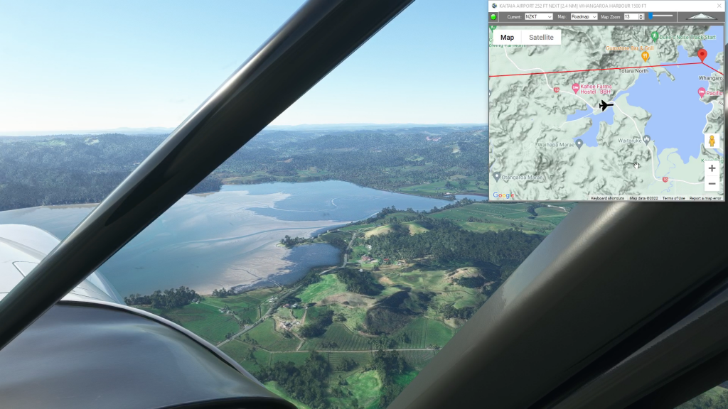
WP1: [22.61 NM] WHANGAROA HARBOUR
WP2: [16.61 NM] TE PUNA INLET
WP3: [14.55 NM] CAPE BRETT LIGHTHOUSE
WP4: [15.53 NM] HELENA BAY
NZWR: [20.38 NM] WHANGAREI AIRPORT
Total Distance: 89.69 NM
Flightplan by texstan
Login is required to download. If you don't have an account Register Here, your password will be emailed to you. Happy Flying!