
This flight plan is a collection of places from the Mysteries of the Abandoned TV show on Science Channel, located along the border of Spain and France including the Canfranc Rail Station high in the mountains. MSFS World Map points of interest for the area are also included as waypoints, including the Mallos de Riglos and PIc du Midi de Bigorre Obseratory near Lourdes.
This is the flight plan used in the YouTube video https://youtu.be/NUokgEokUpo
ES-0165-LFBT Gurrea de Gallego to Lourdes
Asobo NXCub
ES-0165: AERODROMO GURREA de GALLEGO
POI06: [18.89 NM] MALLOS DE RIGLOS
S6E11-3: [22.03 NM] ESCO SPAIN
S2E3-3: [25.30 NM] CANFRANC RAILWAY STATION
POI05: [29.12 NM] LAC DE CAP DE LONG
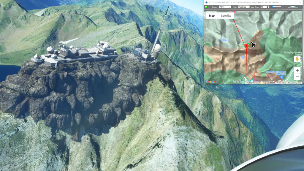
POI04: [6.93 NM] PIC DU MIDI DE BIGORRE OBSERVATORY
LFBT: [15.96 NM] TARBES-LOURDES AIRPORT
Total Distance: 118.25 NM
Flightplan by texstan
Login is required to download. If you don't have an account Register Here, your password will be emailed to you. Happy Flying!