
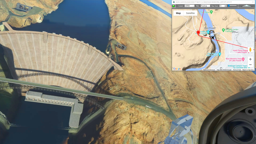
This is the third leg of the Navajo Volcanic Field series. This flight plan starts Oljato Regional Airport in Monument Valley, so take a quick spin around the famous buttes before flying west over the San Juan River to the Glen Canyon Dam. This is the bottom steps of the Grand Staircase Escalante formation. You can fly down Marble Canyon to the Grand Canyon, or on a clear day gain some altitude over Page and you'll see it to the southwest.
This is the flight plan used in the YouTube video https://youtu.be/hckXQfIU0p4
UT25 to KPGA Monument Valley to Page Municipal
DA40-NG Asobo
UT25: OLJATO REGIONAL AIRPORT
USR01: [17.99 NM] MONITOR BUTTE
USR02: [4.98 NM] ZAHN BAY
USR03: [5.65 NM] PIUTE BAY
USR04: [9.92 NM] REFLECTION CANYON
USR05: [6.30 NM] RAINBOW BRIDGE
USR06: [9.55 NM] TOILET BOWL
USR07: [5.88 NM] HEPBURN'S BATHTUB
USR08: [11.24 NM] WAHEEP BAY
USR09: [4.40 NM] GLEN CANYON DAM
KPGA: [2.17 NM] PAGE MUNICIPAL AIRPORT
Total Distance: 78.13 NM
Flightplan by texstan