
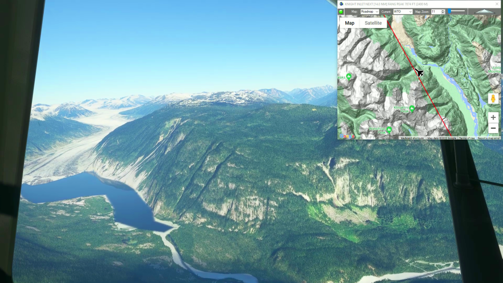
This is the next leg of our Pacific Northwest series. It's a short leg from Bella Coola to Houston Airstrip (Google Maps has it as Dean River Airport, but at the time this flight plan was created it was Houston Airstrip in MSFS).
This is the flight plan used in the YouTube video https://youtu.be/YHrwj6jljDE
CYBD-YRD Bella Coola to Houston
Asobo XCub Floats
CYBD: BELLA COOLA AIRPORT
WP1: [12.46 NM] MT SAUNDERS
WP2: [14.49 NM] CYRILLIC PEAK
YRD: [10.01 NM] HOUSTON AIRSTRIP
Total Distance: 36.97 NM
Flightplan by texstan
Login is required to download. If you don't have an account Register Here, your password will be emailed to you. Happy Flying!