
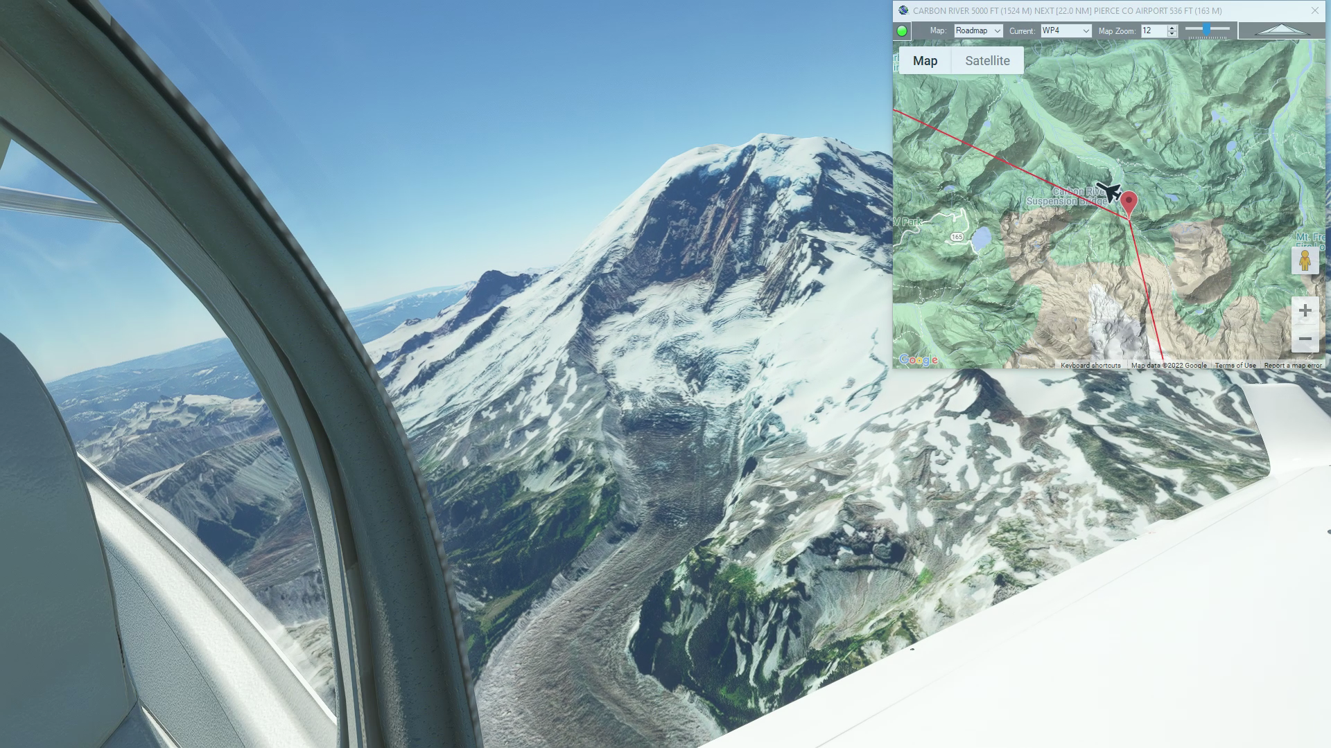
Mt Ranier flight plan
MSFS
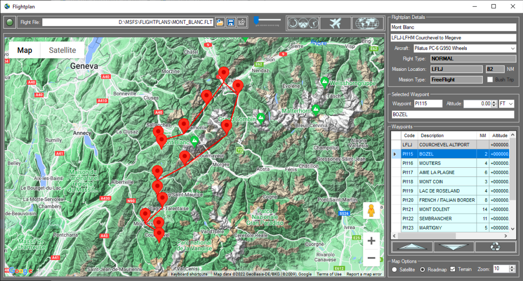
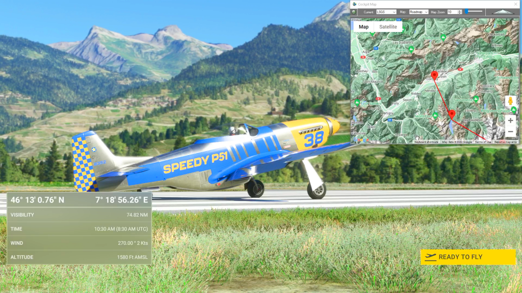
Simflightplan™ is a Google Maps flight planning add-on for use with Microsoft Flight Simulator. You can use Cockpit Map to take Google Maps in the cockpit with you to use real time terrain elevations, road maps, landmarks, satellite views and street view 3D imagery.
Download Simflightplan™ and try it yourself. You can also download and fly any of our free flight plans, try the flight plans below or click the Downloads link at the top to search all downloads. Load them in MSFS World Map and you are ready to fly.
For more information see the FAQ page or our YouTube channel.
Happy Flying!

Aerodromul Sânpetru-Brașov to Banesti
Lrsa To Lrur Flight Plan
How To Convert Units of Measure
How To Convert Units of Measure flight plan
How To Create a Flight Plan With Any Aircraft You Own
Create a flight plan with any aircraft
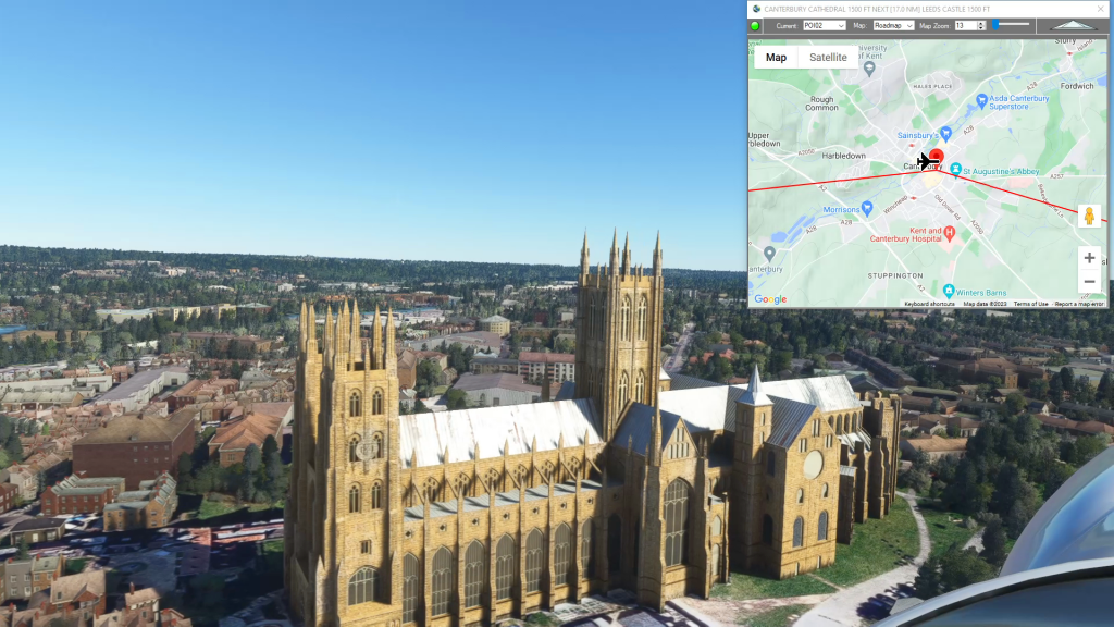
Mysteries of the Abandoned Southeast England
Lydd Airport To London Southend Airport Flight Plan