
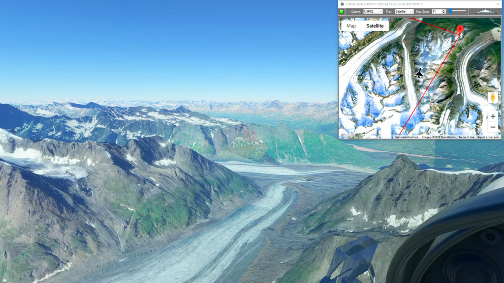
Merle K Smith (Mudhole) Airport To Valdez Airport Flight Plan
MSFS
Simflightplan™ is a Google Maps flight planning add-on for use with Microsoft Flight Simulator. You can use Cockpit Map to take Google Maps in the cockpit with you to use real time terrain elevations, road maps, landmarks, satellite views and street view 3D imagery.
Download Simflightplan™ and try it yourself. You can also download and fly any of our free flight plans, try the flight plans below or click the Downloads link at the top to search all downloads. Load them in MSFS World Map and you are ready to fly.
For more information see the FAQ page or our YouTube channel.
Happy Flying!
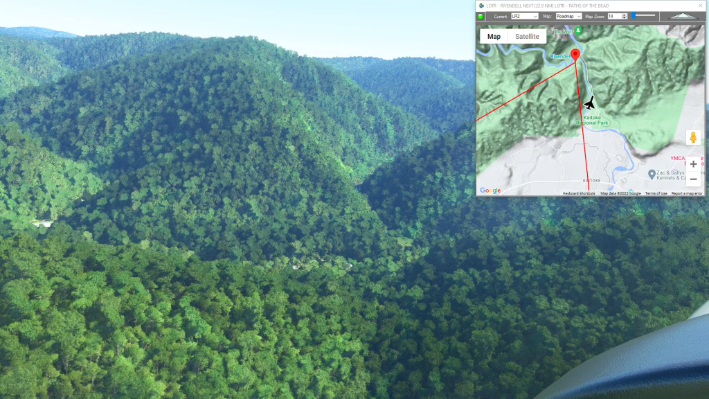
Middle Earth – Rivendell
Wellington Int’l Airport To Marlborough (Woodbourne) Airport Flight Plan
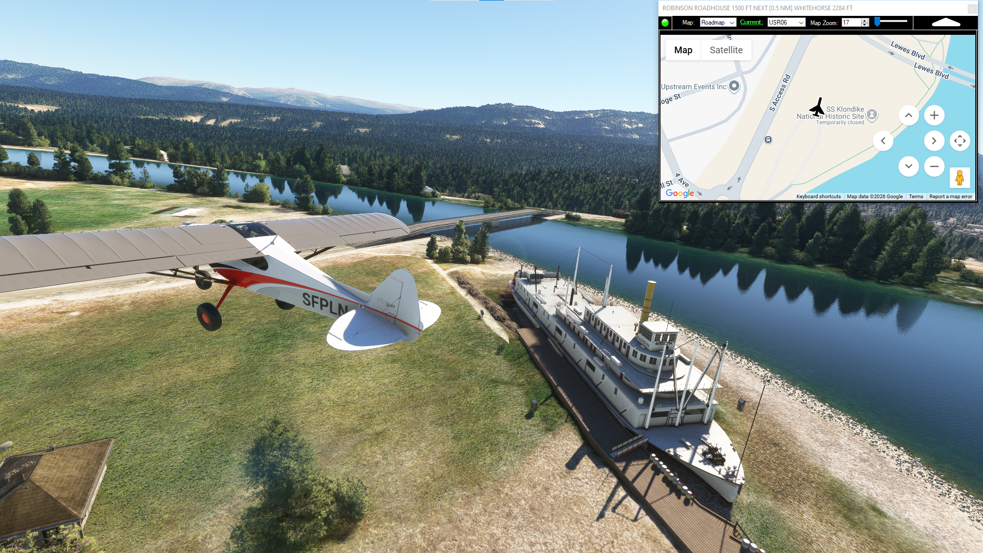
Skagway to Whitehorse Intl
This flight plan follows the roue of the White Pass Yukon Railroad. Constructed in the 19th century to replace the Chilkoot Trail as the only means of getting to the Yukon river at the beginning of the gold rush. Along most of the route, the rail line path can be seen cutting through the forest….
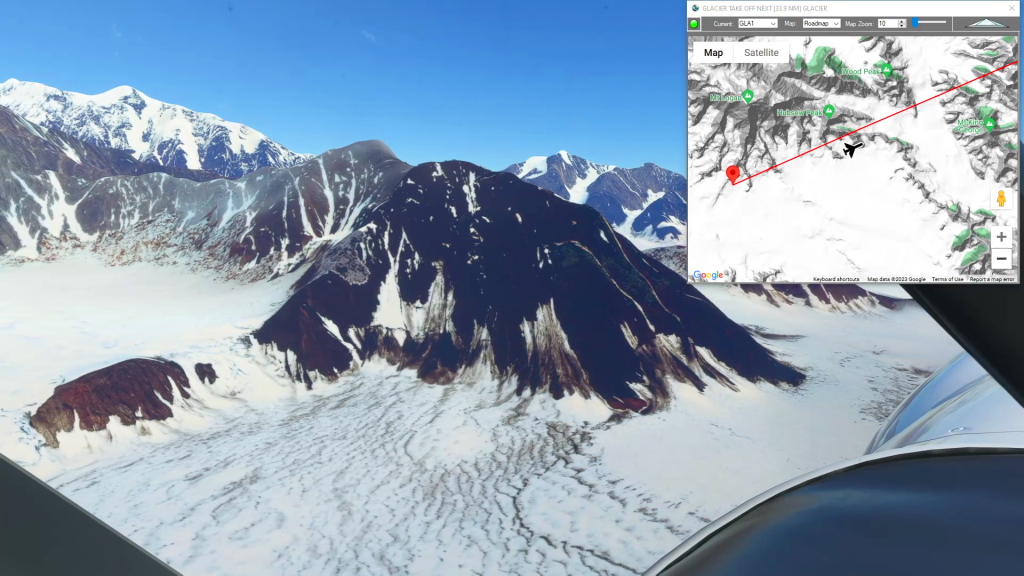
Mt Logan to Burwash (Glacier Takeoff)
Glacier Take Off To Burwash Landing Airport Flight Plan
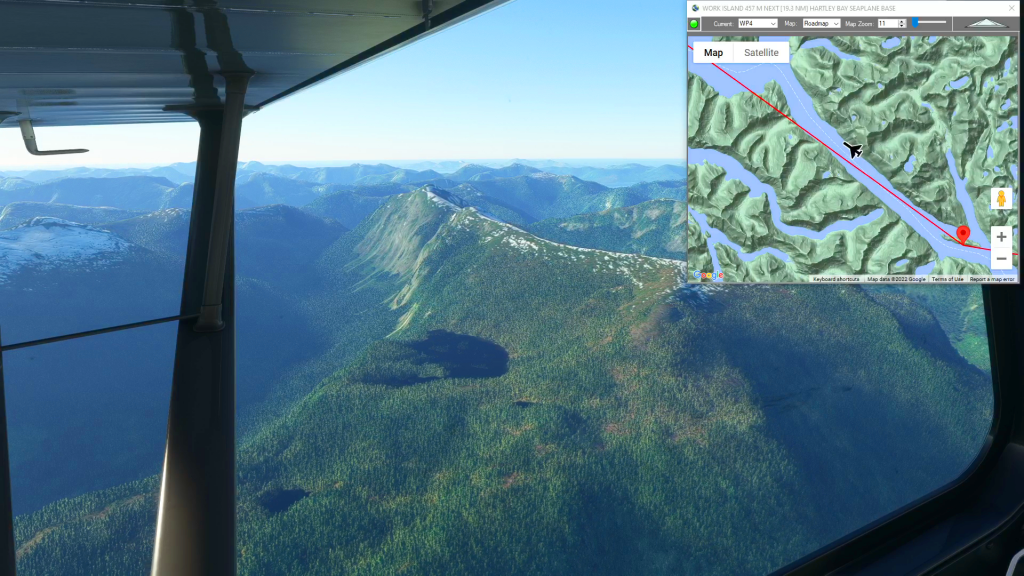
Dean River Airport to Hartley Bay (Water Landing)
Dean River Airport To Hartley Bay Seaplane Base Flight Plan