
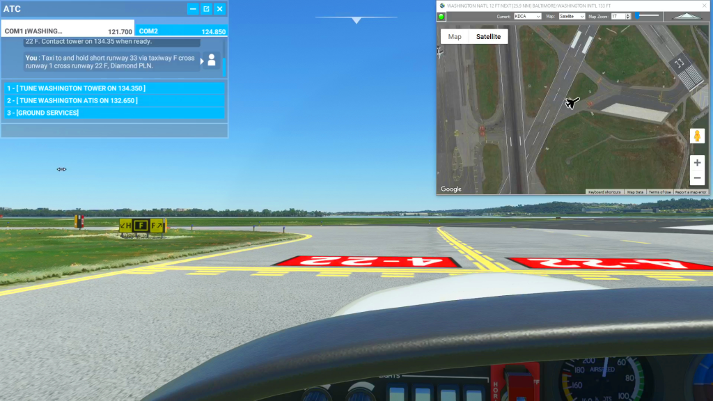
How to use satellite view to taxi flight plan
MSFS
Flightplan is a Google Maps flight planning add-on for use with Microsoft Flight Simulator 2020. You can use Cockpit Map to take Google Maps in the cockpit with you to use real time terrain elevations, road maps, landmarks, satellite views and street view 3D imagery. Flightplan can also be used to create and share your own flight plans using an interactive drag-and-drop, Google Maps interface.
Download Flightplan and try it for yourself at the bottom of the page.
Download and fly any of the flight plans below, just load them in MSFS World Map and your ready to fly.
For more information see the FAQ page or our YouTube channel.
Happy Flying!
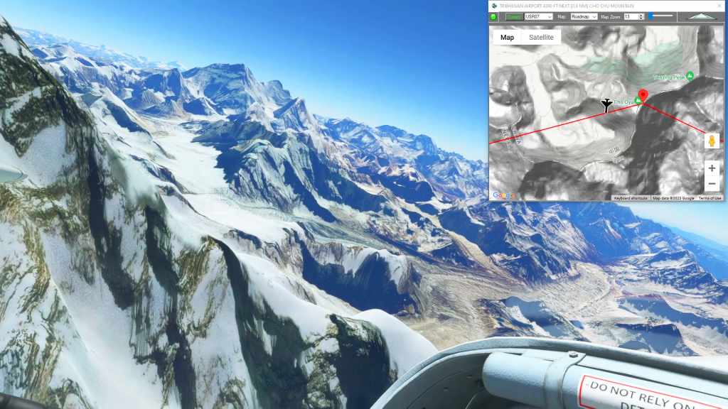
Kathmandu, Cho Oyu and Mt Everest
Tribhuvan Airport To Tenzing-Hillary Airport Flight Plan
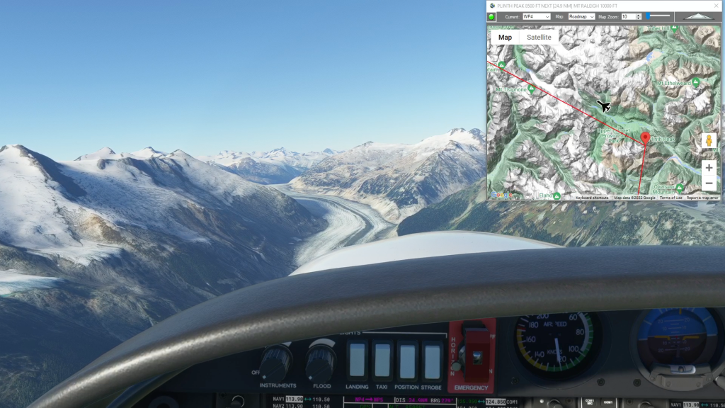
Squamish Airport to Tsuniah Lake Lodge
Squamish to Tsuniah Lake flgiht plan

My Way Badge Flight
How to get your My Way badge flight plan

Chicago Midway Intl to MC COOL
Kmdw To Kco1 Flight Plan

Badlands and Mt Rushmore
Badlands and Mt Rushmore flight plan

Wales Bush Trip – Flint Castle
Bryngwyn Bach Airfield To Whittington Airport Flight Plan
NE Adriatic Bush Trip – Leg 1
Maribor To Ljubljana Joze Pucnik International Airport Flight Plan
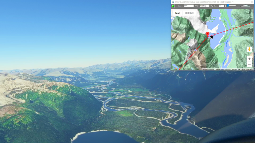
Wrangell to Telegraph Creek
Wrangell Airport To Telegraph Creek Airport Flight Plan
Heathrow to Stansted
Egll To Egss Flight Plan