
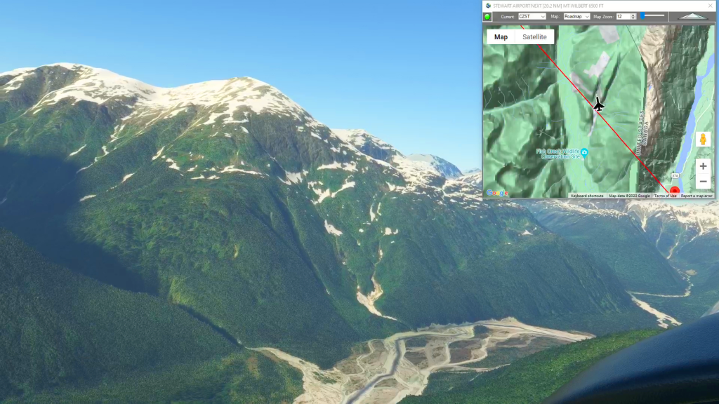
Stewart Airport To Wrangell Airport Flight Plan
MSFS
Simflightplan™ is a Google Maps flight planning add-on for use with Microsoft Flight Simulator. You can use Cockpit Map to take Google Maps in the cockpit with you to use real time terrain elevations, road maps, landmarks, satellite views and street view 3D imagery.
Download Simflightplan™ and try it yourself. You can also download and fly any of our free flight plans, try the flight plans below or click the Downloads link at the top to search all downloads. Load them in MSFS World Map and you are ready to fly.
For more information see the FAQ page or our YouTube channel.
Happy Flying!
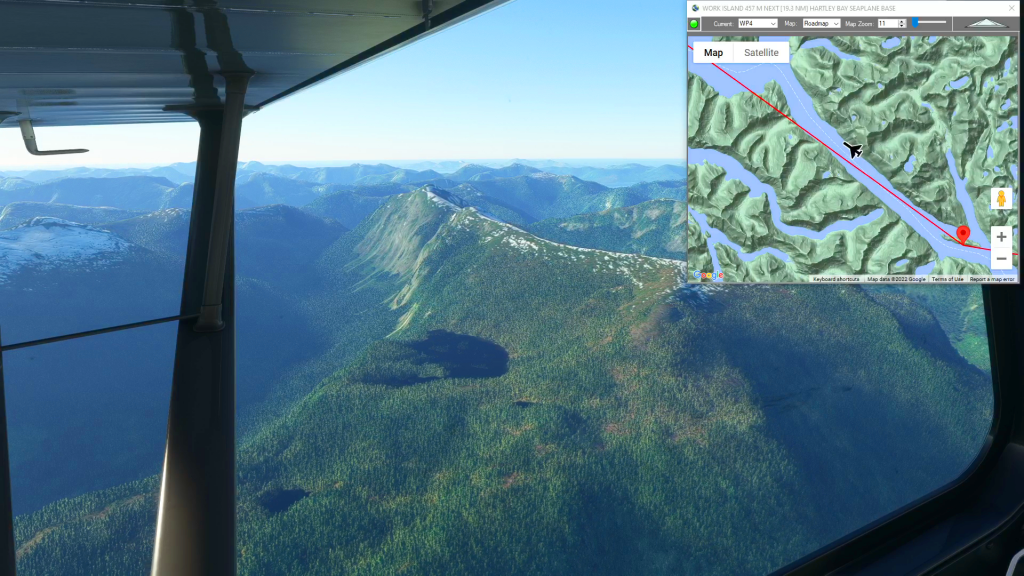
Dean River Airport to Hartley Bay (Water Landing)
Dean River Airport To Hartley Bay Seaplane Base Flight Plan

Grand Alpine Challenge – Leg 3
Sion To Ambri Flight Plan
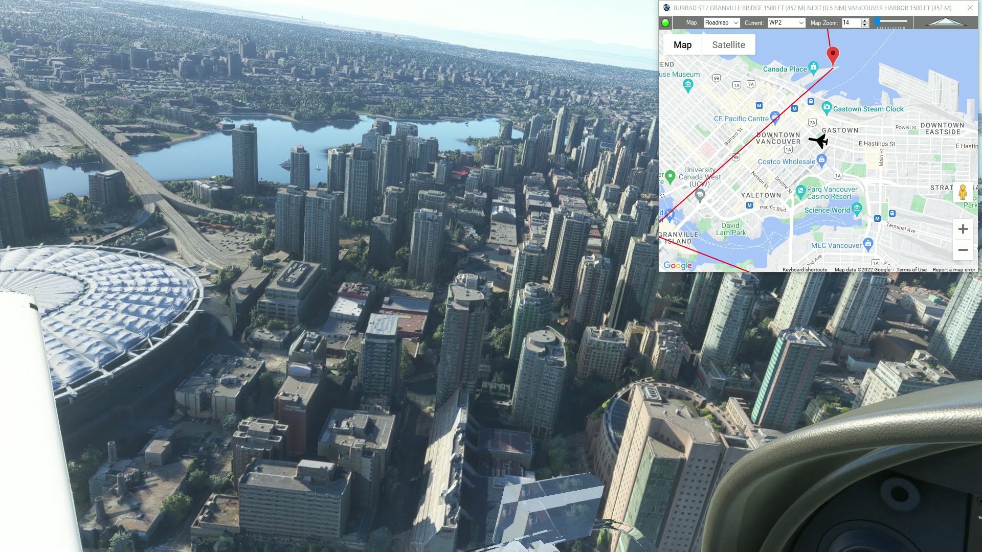
Vancouver (Bellingham to Squamish)
Vancouver flight plan
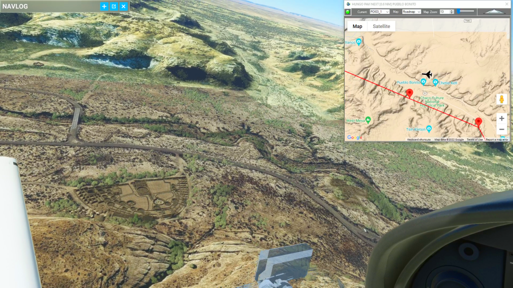
Chaco Canyon (Crownpoint to Shiprock)
Chaco Canyon flight plan