
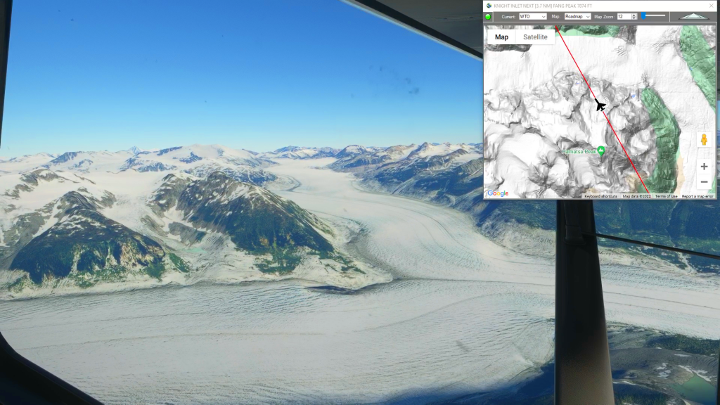
Knight Inlet to Bella Coola flight plan
MSFS
Simflightplan™ is a Google Maps flight planning add-on for use with Microsoft Flight Simulator. You can use Cockpit Map to take Google Maps in the cockpit with you to use real time terrain elevations, road maps, landmarks, satellite views and street view 3D imagery.
Download Simflightplan™ and try it yourself. You can also download and fly any of our free flight plans, try the flight plans below or click the Downloads link at the top to search all downloads. Load them in MSFS World Map and you are ready to fly.
For more information see the FAQ page or our YouTube channel.
Happy Flying!

Telegraph Creek to Juneau
Telegraph Creek Airport To Juneau Int’l Airport Flight Plan
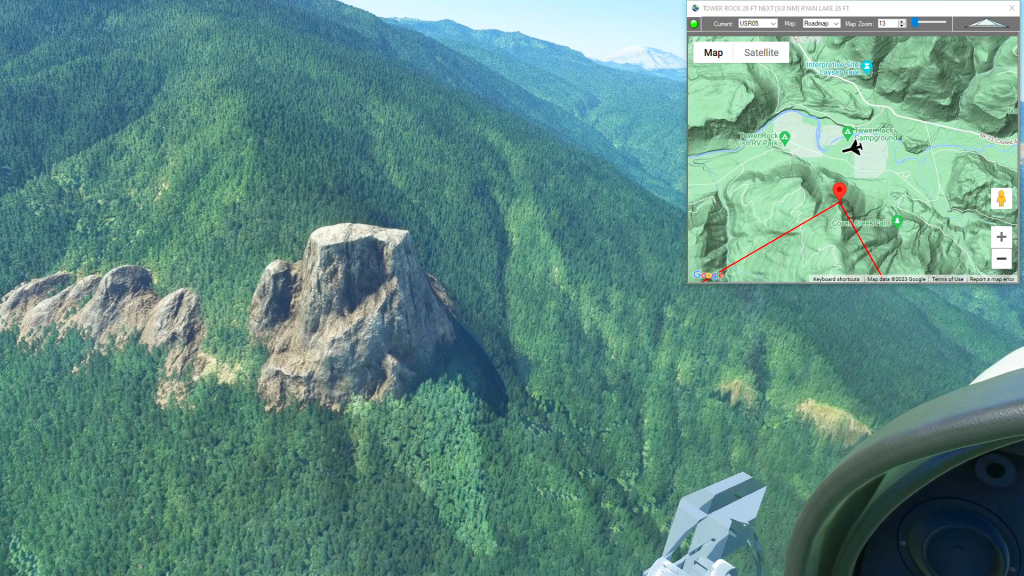
Mt St Helens And Tower Rock
Portland Int’l To Strom Field Flight Plan

NE Adriatic Bush Trip – Leg 1
Maribor To Ljubljana Joze Pucnik International Airport Flight Plan

How To Create A Flight Plan in MSFS
Edinburgh Airport To Middlesbrough Flight Plan