
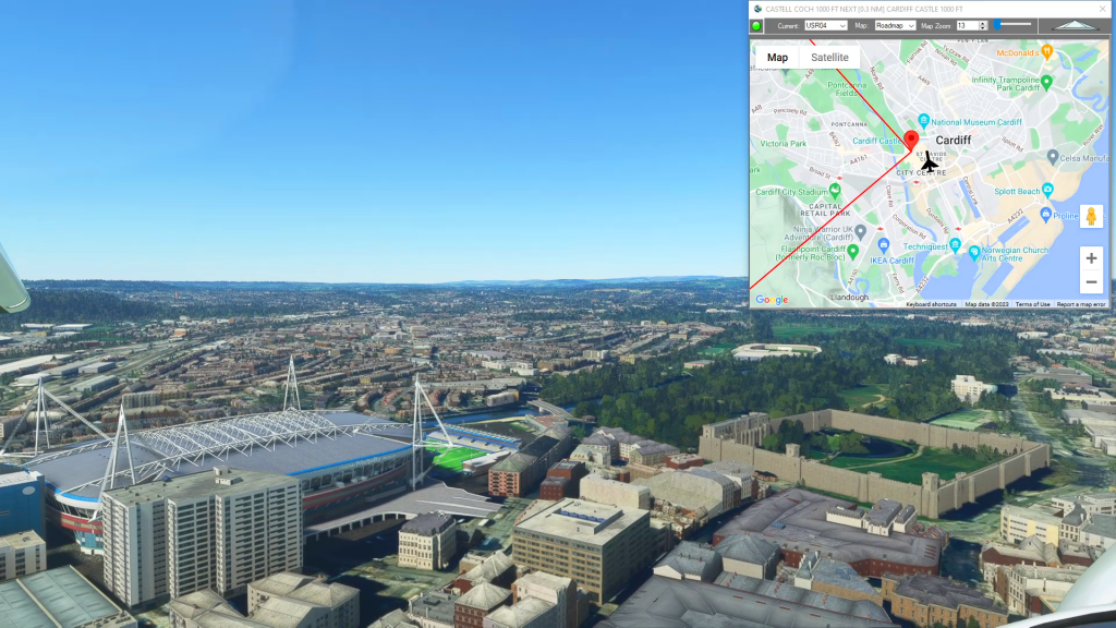
Gloucestershire Airport To Cardiff Airport Flight Plan
MSFS Flight Plans
Flightplan is a Google Maps flight planning add-on for use with Microsoft Flight Simulator 2020. You can use Cockpit Map to take Google Maps in the cockpit with you to use real time terrain elevations, road maps, landmarks, satellite views and street view 3D imagery. Flightplan can also be used to create and share your own flight plans using an interactive drag-and-drop, Google Maps interface.
Download Flightplan and try it for yourself at the bottom of the page.
Download and fly any of the flight plans below, just load them in MSFS World Map and your ready to fly.
For more information see the FAQ page or our YouTube channel.
Happy Flying!

How To Save Aircraft Settings
Portland Int’l To San Francisco Int’l Flight Plan

Telegraph Creek to Juneau
Telegraph Creek Airport To Juneau Int’l Airport Flight Plan

Aerodromul Sânpetru-Brașov to Banesti
Lrsa To Lrur Flight Plan
How To Convert Units of Measure
How To Convert Units of Measure flight plan
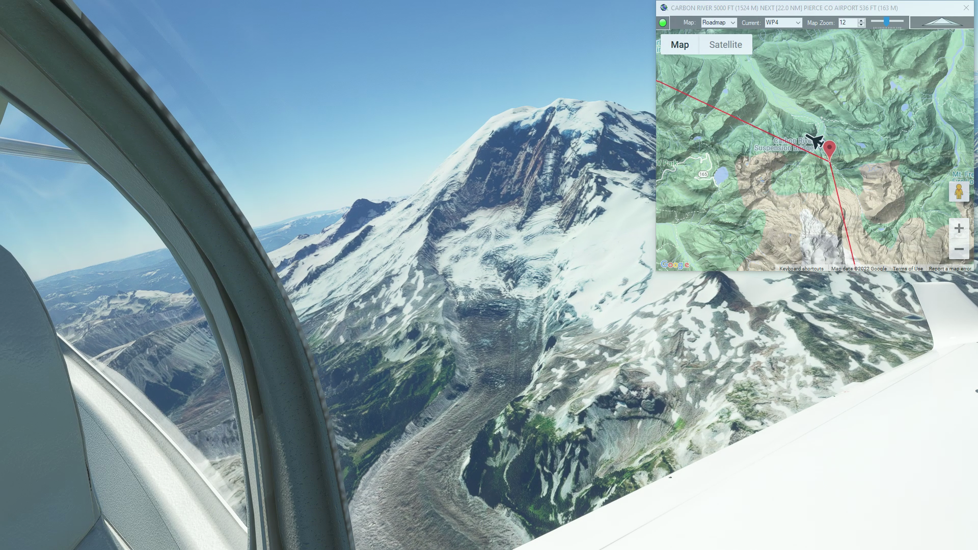
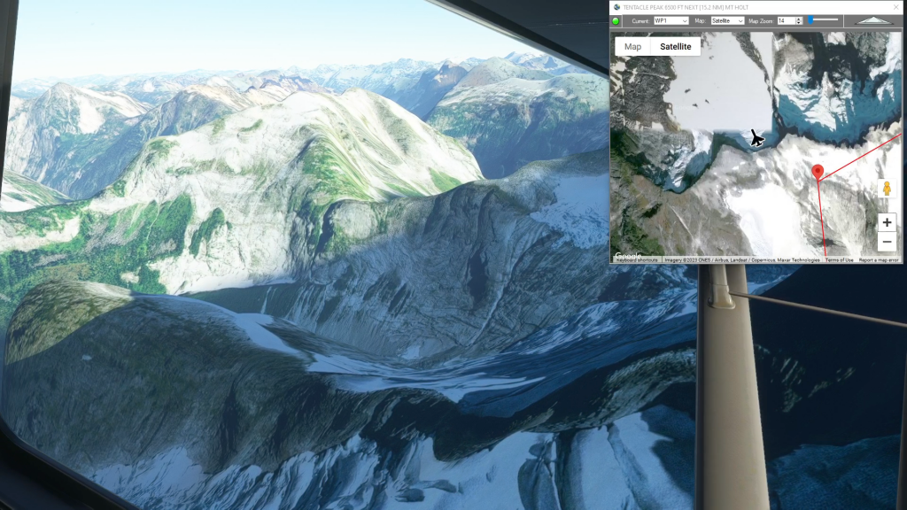
Mt Ranier (Strom Field to Pierce County Airport)
Mt Ranier flight plan
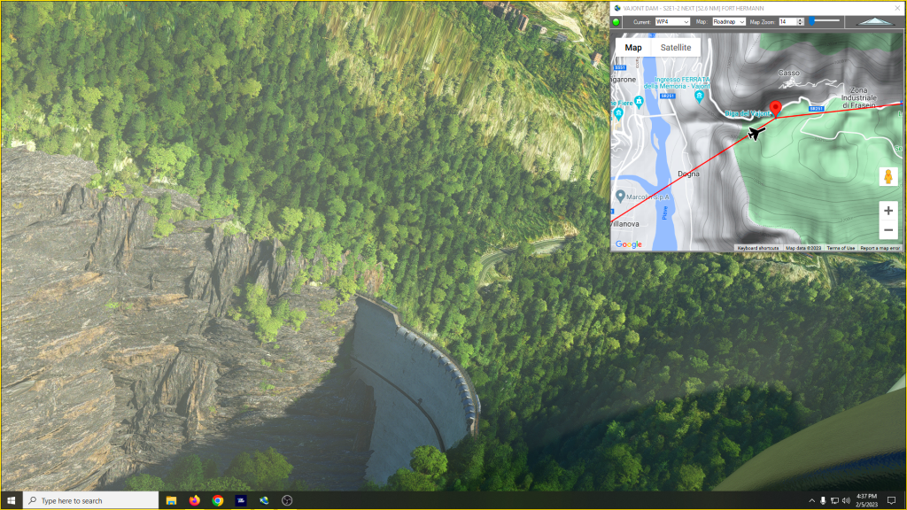
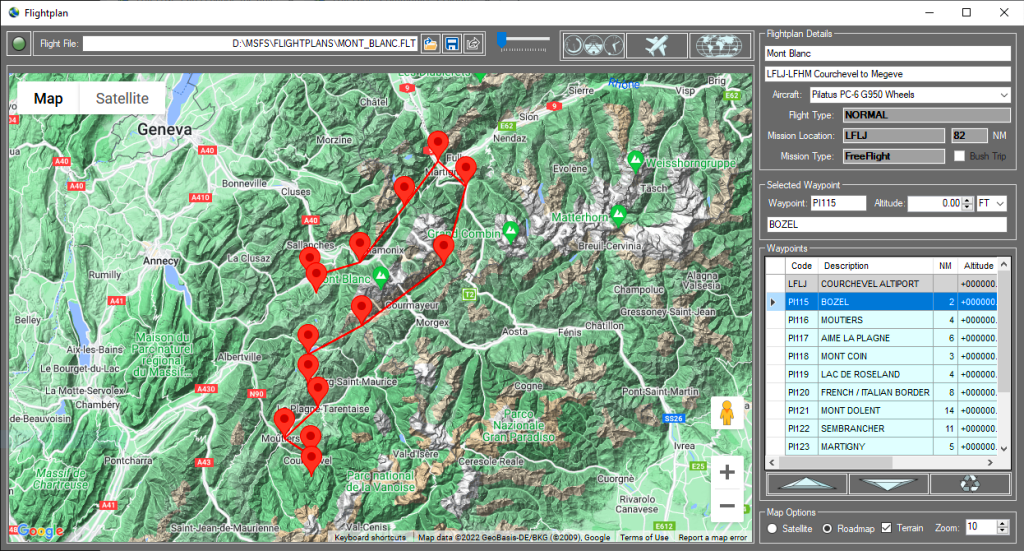
Mysteries of the Abandoned – Italian Alps
Mysteries of the Abandoned – Italian Alps Flight Plan
Middle Earth – Osgiliath Wood
Osgilath Wood flight plan
Hartley Bay to NW Terrace Reg (Water Takeoff)
Hartley Bay Seaplane Base To Nw Terrace Regional Flight Plan
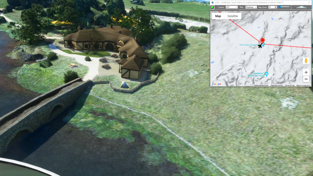
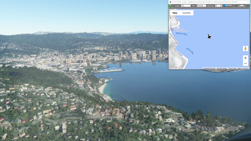
Hobbiton – Middle Earth (with World Update XII POI)
Auckland Airport To Rotorua Regional Airport Flight Plan