
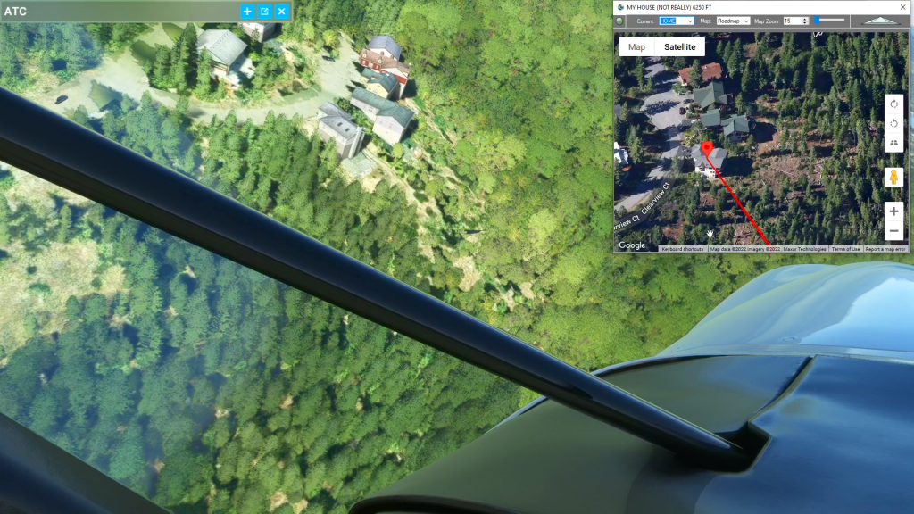
How to find your house flight plan
Microsoft Flight Simulator Map While Flying
Flightplan is a Google Maps flight planning add-on for use with Microsoft Flight Simulator 2020. You can use Cockpit Map to take Google Maps in the cockpit with you to use real time terrain elevations, road maps, landmarks, satellite views and street view 3D imagery. Flightplan can also be used to create and share your own flight plans using an interactive drag-and-drop, Google Maps interface.
Download Flightplan and try it yourself below.
You can also download and fly any of our free flight plans using the Downloads link at the top. Load them in MSFS World Map and you are ready to fly.
For more information see the FAQ page or our YouTube channel.
Happy Flying!

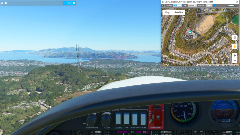
How To Use Satellite View to Assist During Taxi
How to use satellite view to taxi flight plan
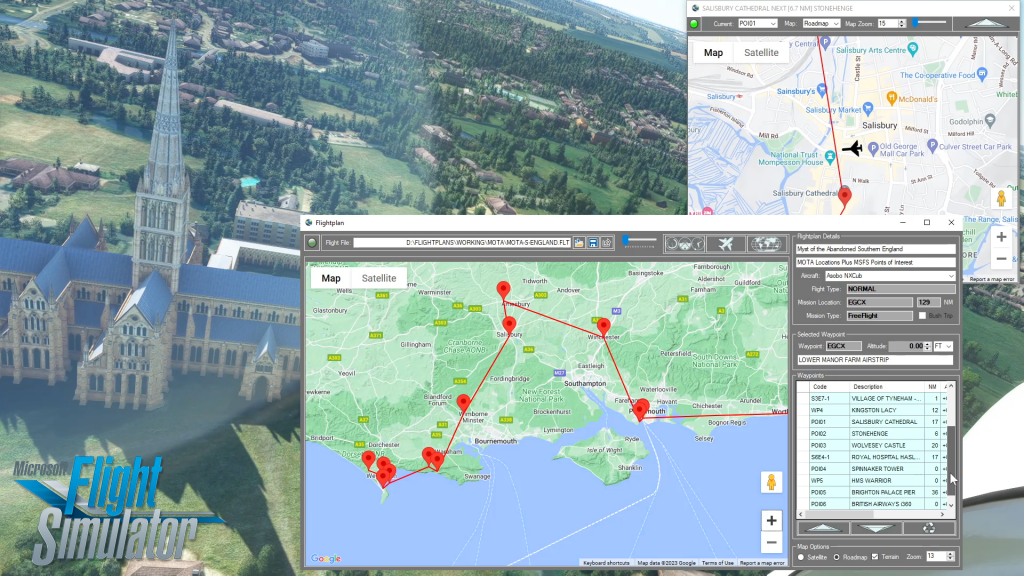
How To Use Cockpit Map Features
How to use Cockpit Map flight plan
Flightplan for Flight Simulator
Flight Planning Application for Microsoft Flight Simulator 2020
4.1 out of 5 stars (based on 7 reviews)