
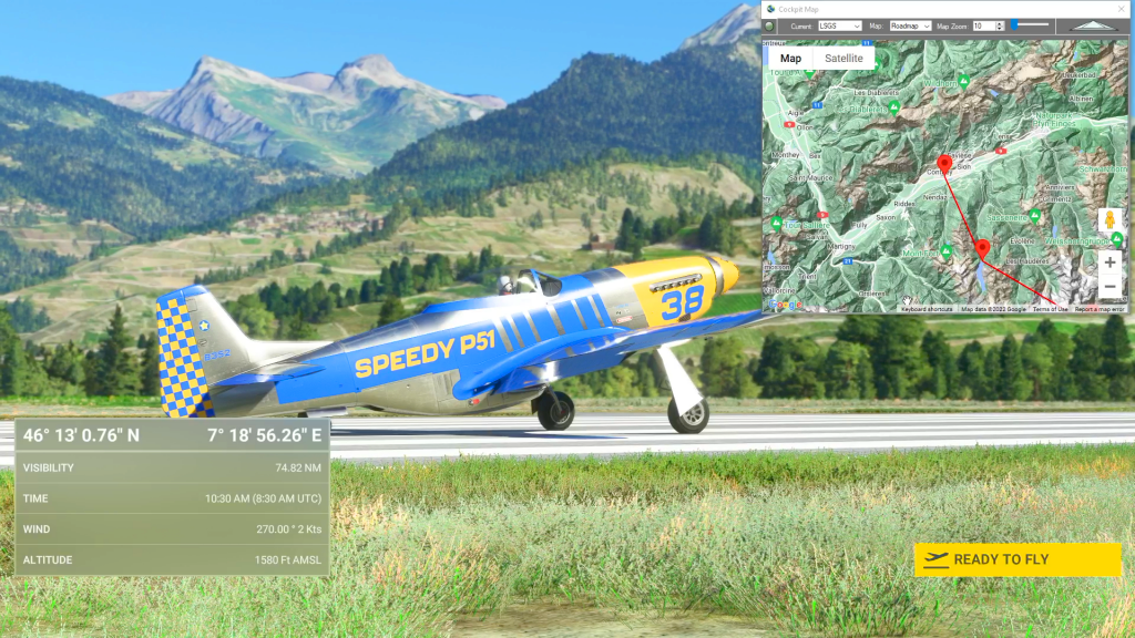
Sion To Ambri Flight Plan
Flight Sim Downloads
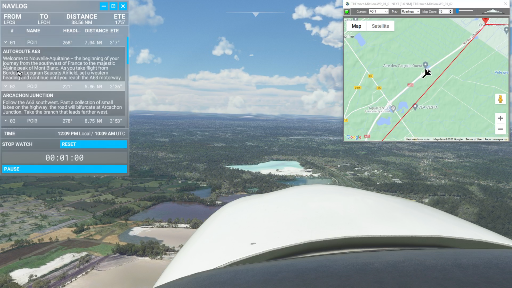
Simflightplan™ is a Google Maps flight planning add-on for use with Microsoft Flight Simulator. You can use Cockpit Map to take Google Maps in the cockpit with you to use real time terrain elevations, road maps, landmarks, satellite views and street view 3D imagery.
Download Simflightplan™ and try it yourself. You can also download and fly any of our free flight plans, try the flight plans below or click the Downloads link at the top to search all downloads. Load them in MSFS World Map and you are ready to fly.
For more information see the FAQ page or our YouTube channel.
Happy Flying!

Yosemite Timed Run
Get Ready To End Flight Plan

Wales Castles – Raglan and Cardiff
Gloucestershire Airport To Cardiff Airport Flight Plan
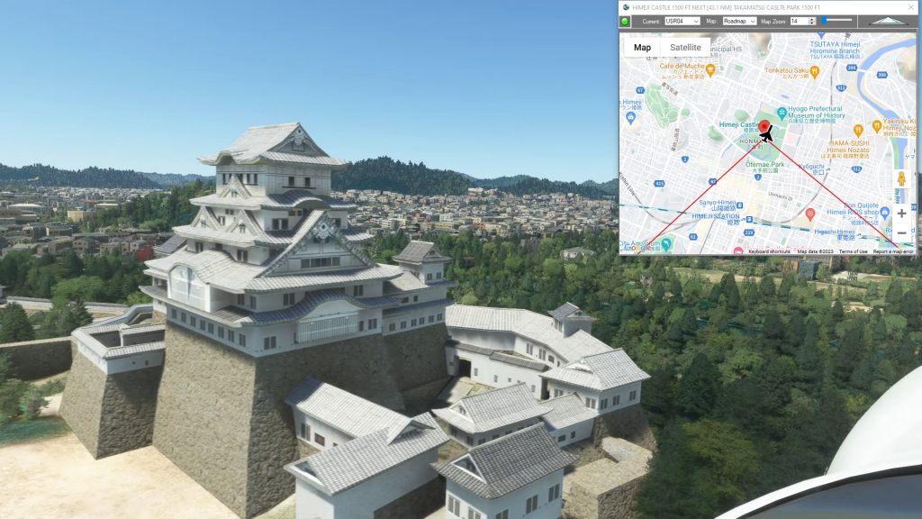
Himeji Castle and Akashi-Kaikyo Bridge
Yao Airport To Takamatsu Airport Flight Plan
How To Use Flightplan In Bush Trips
How to use Flightplan in bush trips flight plan