
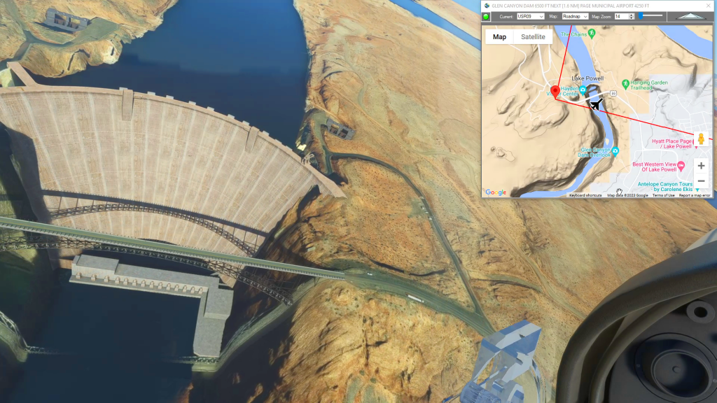
Oljato Regional Airport To Page Municipal Airport Flight Plan
Flight Sim Downloads
Flightplan is a Google Maps flight planning add-on for use with Microsoft Flight Simulator 2020. You can use Cockpit Map to take Google Maps in the cockpit with you to use real time terrain elevations, road maps, landmarks, satellite views and street view 3D imagery. Flightplan can also be used to create and share your own flight plans using an interactive drag-and-drop, Google Maps interface.
Download Flightplan and try it for yourself at the bottom of the page.
Download and fly any of the flight plans below, just load them in MSFS World Map and your ready to fly.
For more information see the FAQ page or our YouTube channel.
Happy Flying!
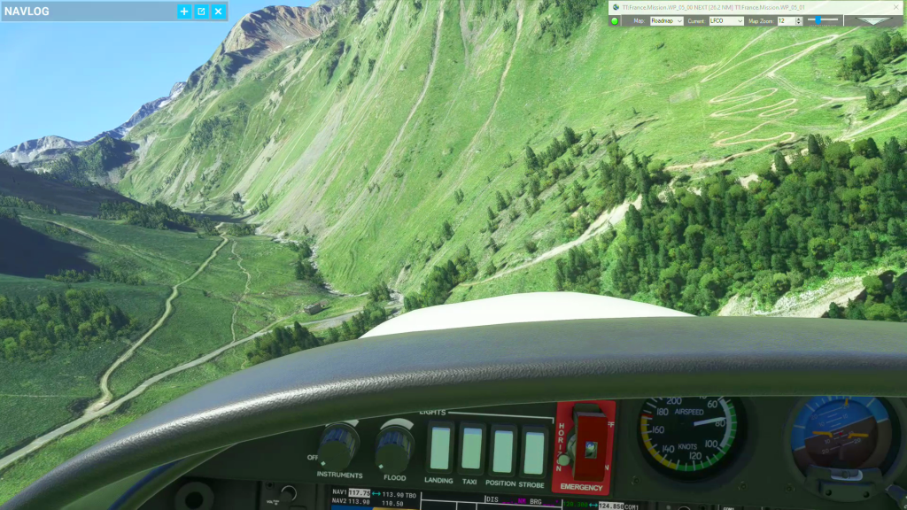
French Pyrenees
French Pyrenees flight plan
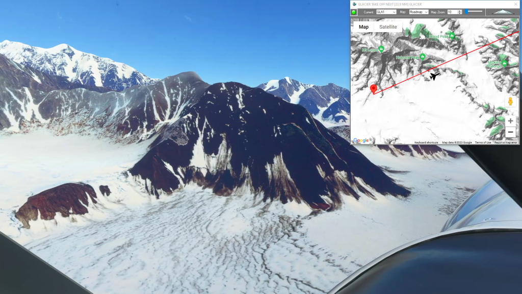
Mt Logan to Burwash (Glacier Takeoff)
Glacier Take Off To Burwash Landing Airport Flight Plan
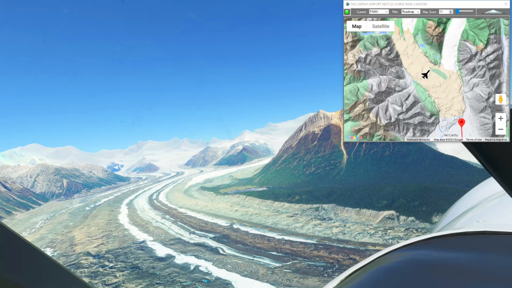
McCarthy to Glacier Landing
Mccarthy Airport To Glacier Landing Flight Plan

Grand Alpine Challenge – Leg 3
Sion To Ambri Flight Plan
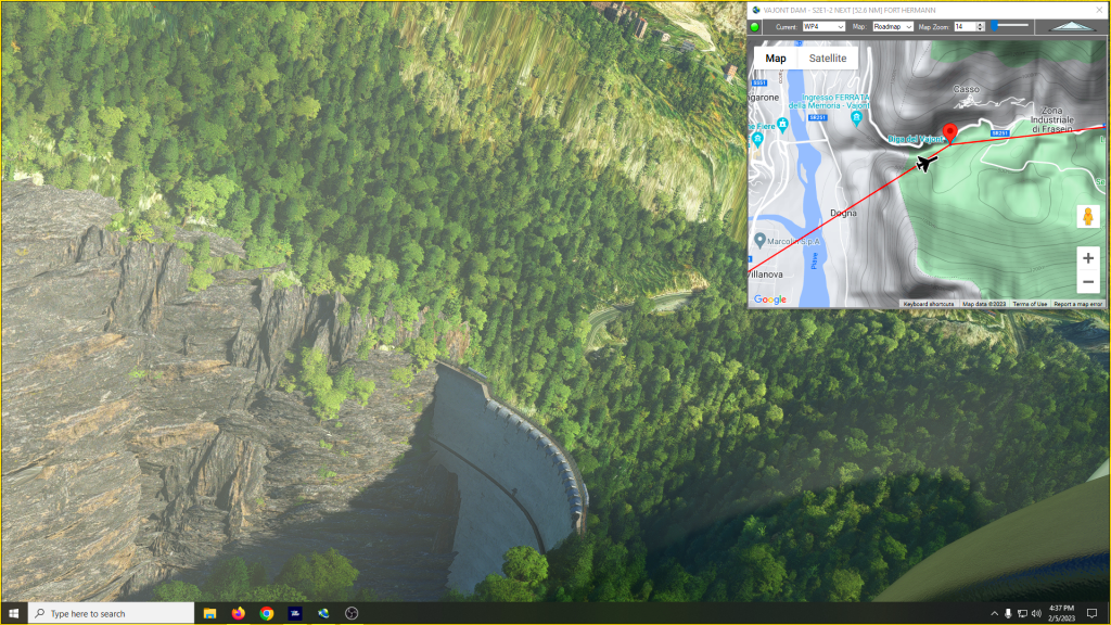
Mysteries of the Abandoned – Italian Alps
Mysteries of the Abandoned – Italian Alps Flight Plan
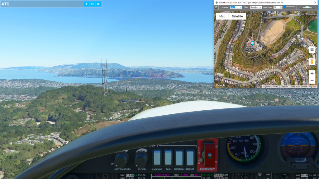
How To Use Cockpit Map Features
How to use Cockpit Map flight plan
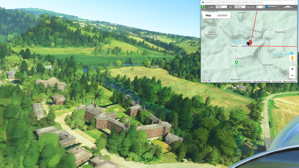
Wales Bush Trip – Skenfirth Castle
Shobdon Aerodrome To Gloucestershire Airport Flight Plan
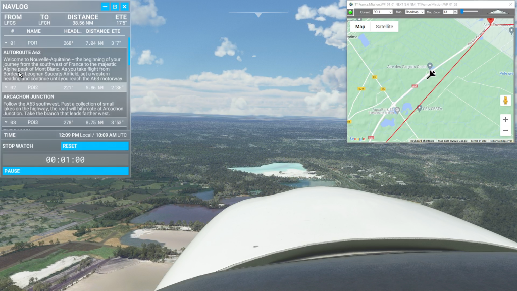
How To Use Flightplan In Bush Trips
How to use Flightplan in bush trips flight plan
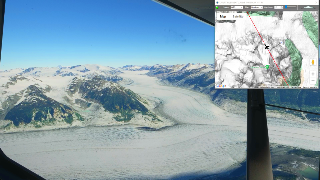
Knight Inlet to Bella Coola (Water Takeoff)
Knight Inlet to Bella Coola flight plan