
Iditarod Air Force Flight Plan
Asobo XCub Skis
This flight plan is the North Route for the world famous Iditarod dog sled race. The North route is used in even years, so this will be the route for 2024. The waypoints are actually placed at the center of the runway if there is an airstrip at the checkpoint itself, ICAO codes are used when available. Otherwise the waypoint is placed at the checkpoint as described in the published route from the Iditarod website at https://iditarod.com/race-map/ where you can find detailed descriptions to find and follow the actual trail. The flight plan files directly between the checkpoints as the Iditarod Air Force bush pilots will be doing in March to resupply the teams and the race officials and provide critical emergency services for both the mushers and the dogs.
A weather file (23" of snow, -13 temp, Sunny and Calm) is included with this flight plan, but for MSFS to find it after downloading the zip file, you will need to open it in Flightplan first. Then save it to a location on your PC using Flightplan. Copying the files out of the downloaded zip file will still provide a flyable flight plan, but the weather file will not autmatically load.
This is the flight plan used in the YouTube video https://youtu.be/-PvLcOukmhk
PANC: ANCHORAGE INTL AIRPORT
CP01: [14.93 NM] CAMPBELL AIRSTRIP
PAUO: [26.65 NM] WILLOW AIRPORT
CP03: [17.62 NM] YENTNA
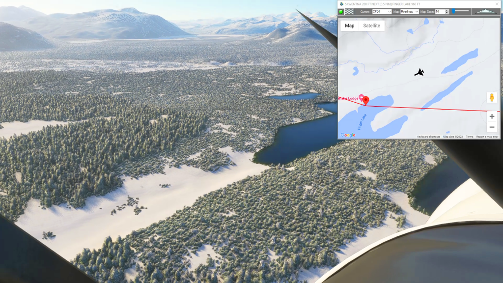
CP04: [20.46 NM] SKWENTNA
CP05: [24.82 NM] FINGER LAKE
CP06: [19.02 NM] RAINY PASS
CP07: [22.13 NM] ROHN
CP08: [51.31 NM] NIKOLAI AERODROME
PAMC: [34.20 NM] MCGRATH AIRPORT
CP10: [11.85 NM] TAKOTNA AIRPORT
CP11: [14.44 NM] OPHIR
CP12: [63.19 NM] CRIPPLE / POORMAN
CP13: [38.55 NM] RUBY
PAGA: [37.48 NM] GALENA / PITKA AIRPORT
PANU: [29.22 NM] NUALTO AIRPORT
PAKV: [30.10 NM] KALTAG AIRPORT
PAUN: [59.70 NM] UNALAKLEET AIRPORT
PFSH: [30.84 NM] SHAKTOOLIK
PAKK: [34.18 NM] KOYUK
PFEL: [34.51 NM] ELIM AIRPORT
PAGL: [19.37 NM] GOLOVIN
PAWM: [13.34 NM] WHITE MOUNTAIN AIRPORT
CP23: [36.97 NM] SAFETY
PAOM: [17.65 NM] NOME AIRPORT
Total Distance: 702.65 NM
Flightplan by texstan
Login is required to download. If you don't have an account Register Here, your password will be emailed to you. Happy Flying!
Snowy Wilderness
If you want to get an idea of how remote the trail is for the Iditarod dog sled race download and fly this flight plan. You can use the link to the Iditarod race map to read the same directions used by the mushers along the way to follow the trail. You really get a sense of how difficult it must be to traverse 1000 miles of Alaska by dog sled, parts are a challenge even in the air.