
This flight plan starts in Charleston, SC and follows the Atlantic coast north to the Outer Banks, Cape Hatteras and Kitty Hawk/Kill Devil Hills. Along the way there are multiple forts and lighthouses, and if you take a side-trip up the Cape Fear River to Wilmington, the Battleship North Carolina is berthed along the river.
This is the flight plan used in the YouTube video https://youtu.be/WLYM6ZBanP0
KJZI-KFFA Charleston to Kill Devil Hills
Asobo NXCub
KJZI: CHARLESTON EXECUTIVE AIRPORT
USR01: [6.53 NM] MORRIS ISLAND LIGHTHOUSE
USR02: [3.44 NM] FORT SUMTER
USR02_0: [1.64 NM] SULLIVANS ISLAND LIGHTHOUSE
USR03: [28.32 NM] CAPE ROMAINE LIGHTHOUSE
USR05: [47.55 NM] MYRTLE BEACH
USR06: [43.69 NM] OAK ISLAND LIGHTHOUSE
USR07: [82.74 NM] FORT MACON
USR08: [42.01 NM] OCRACOKE ISLAND
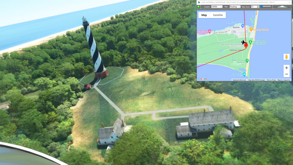
USR09: [24.03 NM] CAPE HATTERAS LIGHTHOUSE
USR10: [34.15 NM] BODIE ISLAND LIGHTHOUSE
KFFA: [13.11 NM] FIRST FLIGHT - KILL DEVIL HILLS
Total Distance: 327.26 NM
Flightplan by texstan
Login is required to download. If you don't have an account Register Here, your password will be emailed to you. Happy Flying!