
This flight plan follows the coast of France with waypoints for many famous WWII sites.
This is the flight plan used in the YouTube videohttps://youtu.be/7vySnHnQREI
Cherbourg-Mache to Caen
DA40-NG Asobo
LFRC: CHERBOURG-MACHE AIRPORT
WP1: [6.67 NM] BATTERIE DE CAQUERET
WP2: [2.15 NM] BATTERIE DE GATTEVILLE
WP3: [0.67 NM] GATTEVILLE LIGHTHOUSE
WP4: [7.40 NM] ST VAAST LA HOUGUE TOWER
WP5: [5.65 NM] BATTERIE DE CRISBECQ
WP6: [1.16 NM] BATTERIE D'AZEVILLE
WP7: [4.00 NM] NORTH UTAH BEACH / D-DAY MEMORIAL
WP8: [7.12 NM] MAISY BATTERY
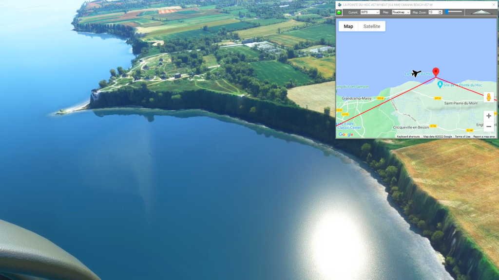
WP9: [3.12 NM] LA POINTE DU HOC
WP10: [6.16 NM] OMAHA BEACH
WP11: [5.85 NM] BATTERIE DE LONGUES-SUR-MER
WP12: [3.82 NM] NORMANDY BEACH
WP13: [14.12 NM] DE OUISTREHAM LIGHTHOUSE
LFRK: [10.04 NM] CAEN-CARPIQUET AIRPORT
Total Distance: 77.99 NM
Flightplan by texstan
Login is required to download. If you don't have an account Register Here, your password will be emailed to you. Happy Flying!
Nice flight over the French Atlantic Coast
Most of the gun emplacements are rendered as weird shaped homes (but you can definitely tell they’re bunkers, etc.), but this is still a fun flight along the coast. There are a couple of light houses and if you stray from the flight path there are lots more gun batteries and bunkers to be found all along the coast.