
This flight plan is really just an edited version of the France Bush Trip first leg. In the video we show you how to use Flightplan to assist with Bush Trip navigation both with and without the route laid out on the map.
This is the flight plan used in the YouTube How To video https://youtu.be/jKOD-GQM9sA
Also see https://youtu.be/beZ4-5iuq1w for another bush trip example.
Note: In the video the DA40-NGX Improvement Mod has been used which makes the DA40 much easier to fly - you can check it out at https://flightsim.to/file/2738/da40-ngx-project
Thank you to mrtommymxr for the excellent mod.
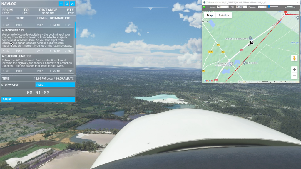
LFCS-LFCH Bordeaux to Arcachon-La Teste-de-Buch
DA40-NG Asobo
LFCS: BORDEAUX AIRPORT
POI1: [7.14 NM] A63 MOTORWAY
POI2: [5.86 NM] A63-A660 JUNCTION
POI3: [8.75 NM] ARCACHON BAY
POI4: [8.24 NM] CAP FERRET LIGHTHOUSE
POI5: [4.14 NM] DUNE DU PILAT
LFCH: [4.51 NM] ARCACHON-LA TESTE AIRPORT
Total Distance: 38.68 NM
Flightplan by texstan
Login is required to download. If you don't have an account Register Here, your password will be emailed to you. Happy Flying!