
This is the 20th leg of the Pacific Northwest Series. It picks up at Alsek River and winds along the mountains and glaciers of the US - Canada border. To avoid probles with newer Garmin Cockpits you may want to change the aircraft to a non-Garmin glass cockpit (such as the X-Cub) or download the DA40-NGX mod that I used in the video here https://flightsim.to/file/2738/da40-ngx-project
This is the flight plan used in the video https://youtu.be/8XWEdZXrmJA
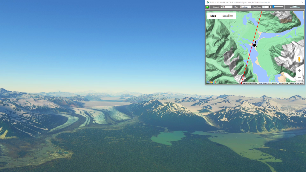
AK76-CYHT East Alsek River to Haines Junction Airstrip
DA40-NG Asobo
AK76: EAST ALSEK RIVER AIRSTRIP
WP1: [28.11 NM] BATTLE PEAK
WP2: [15.15 NM] MT VIKITSKY
WP3: [14.94 NM] MT BLACKADAR
WP4: [30.28 NM] LOWELL PEAK
WP5: [13.21 NM] INUPIAT PEAK / LOWY PEAK
CYHT: [38.58 NM] HAINES JUNCTION AIRSTRIP
Total Distance: 140.31 NM
Flightplan by texstan
Login is required to download. If you don't have an account Register Here, your password will be emailed to you. Happy Flying!