
This is the 29th leg of the Pacific Northwest series and takes off form Merle K (Mudhole) Smith Airport and winds through the valleys and glaciers of southern Alaska, winding north to Valdez.
This is the flight plan used in the YouTube video: https://youtu.be/K1F_XWD2_Es
PACV-PAVD Cordova to Valdez
DA40-NG Asobo
PACV: MERLE K SMITH (MUDHOLE) AIRPORT
USR01: [12.17 NM] HAWKINS ISLAND
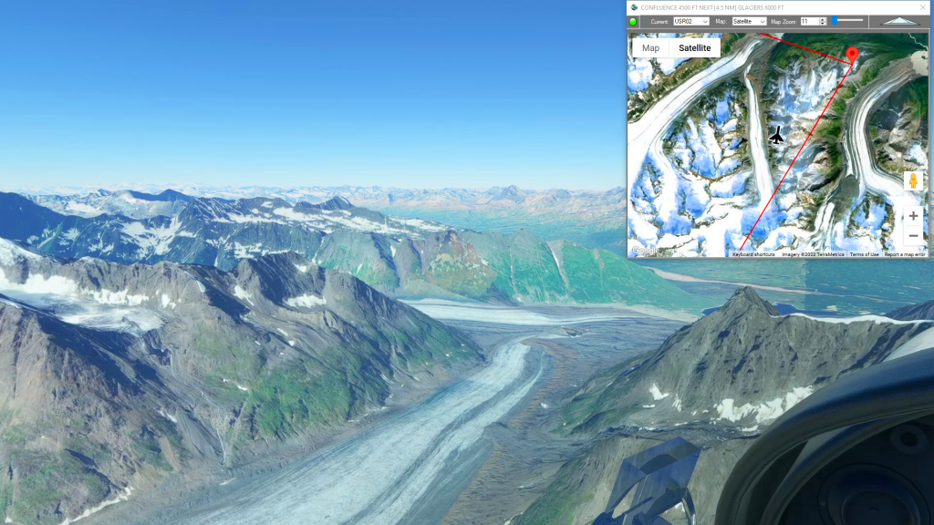
USR02: [13.39 NM] CONFLUENCE
USR03: [18.49 NM] GLACIERS
USR04: [19.23 NM] LOWE RIVER
USR05: [7.95 NM] APPROACH
PAVD: [7.28 NM] VALDEZ AIRPORT
Total Distance: 78.53 NM
Flightplan by texstan
Login is required to download. If you don't have an account Register Here, your password will be emailed to you. Happy Flying!